Journal entries are just that – the digital copy of my hand-written entries in my journal. If you aren’t interested in the daily details of our adventure, feel free to skip on to the next “regular” post.
We wake up and I fix more omlettes. Try as I might, there is still food in the fridge and freezer. Oh well – it’ll be a nice treat tomorrow when we get back.
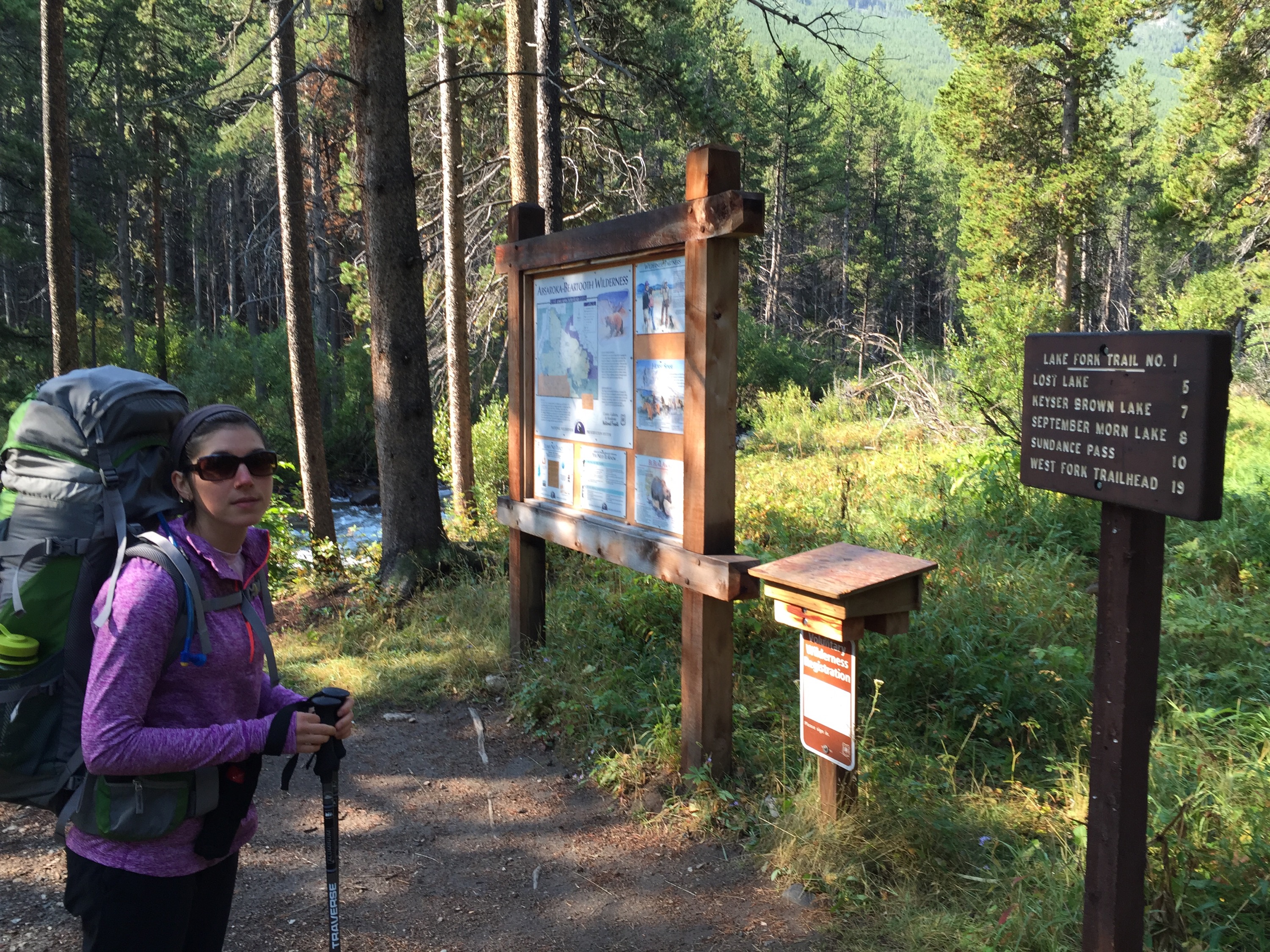
Ashley and I hop on the motorcycle with her bag sandwiched between us. I drop her off at the trailhead and ride the 2 miles back to the RV and pick up my bag. She’s ready to go when I return so we head out on Lake Fork Trail. It’s our first overnight in Grizzly country so we’re a bit apprehensive. This is, according to the ranger, one of the most traveled trails. So that will help us out, as at least we have a good chance of company throughout the day.
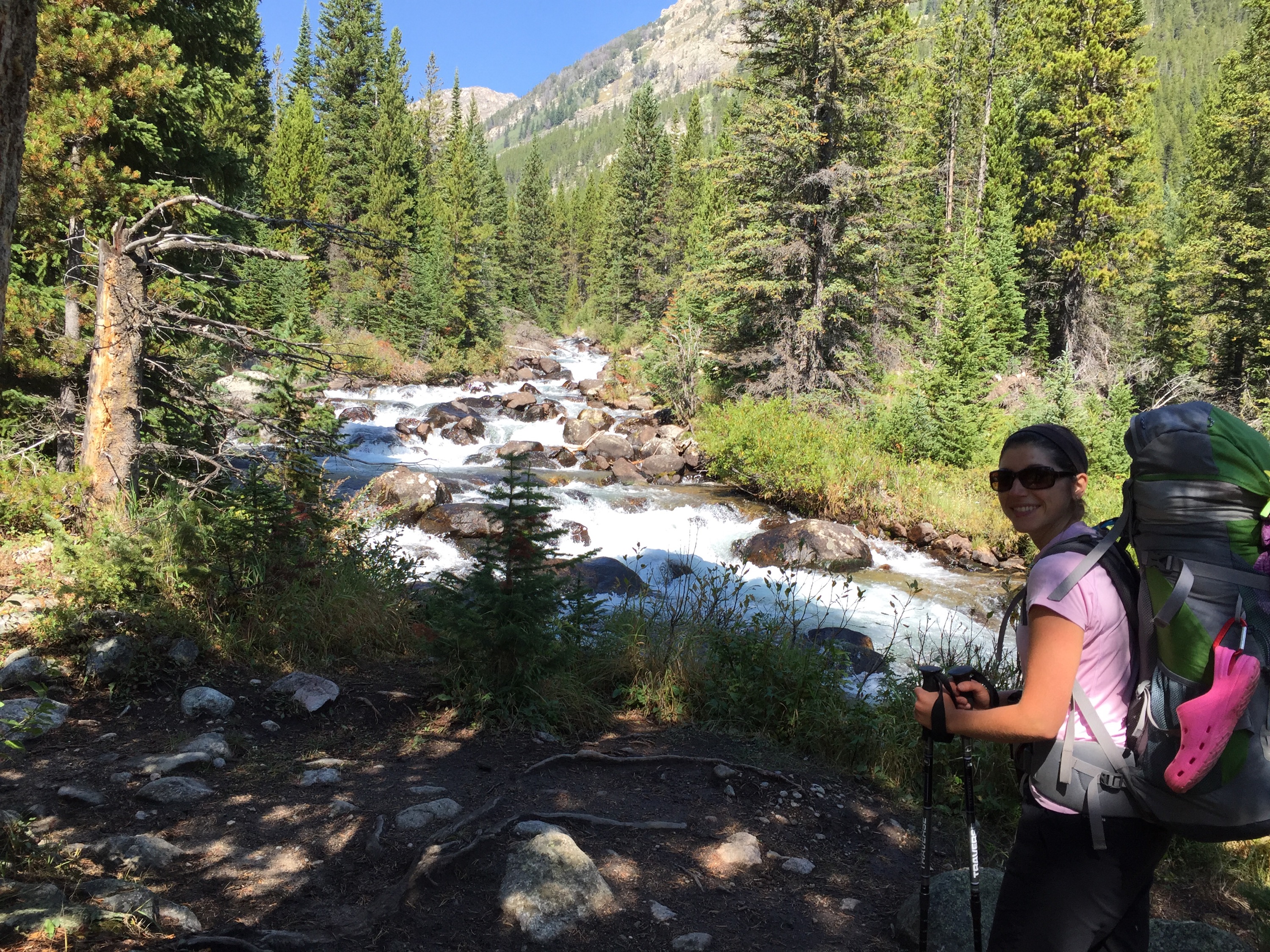
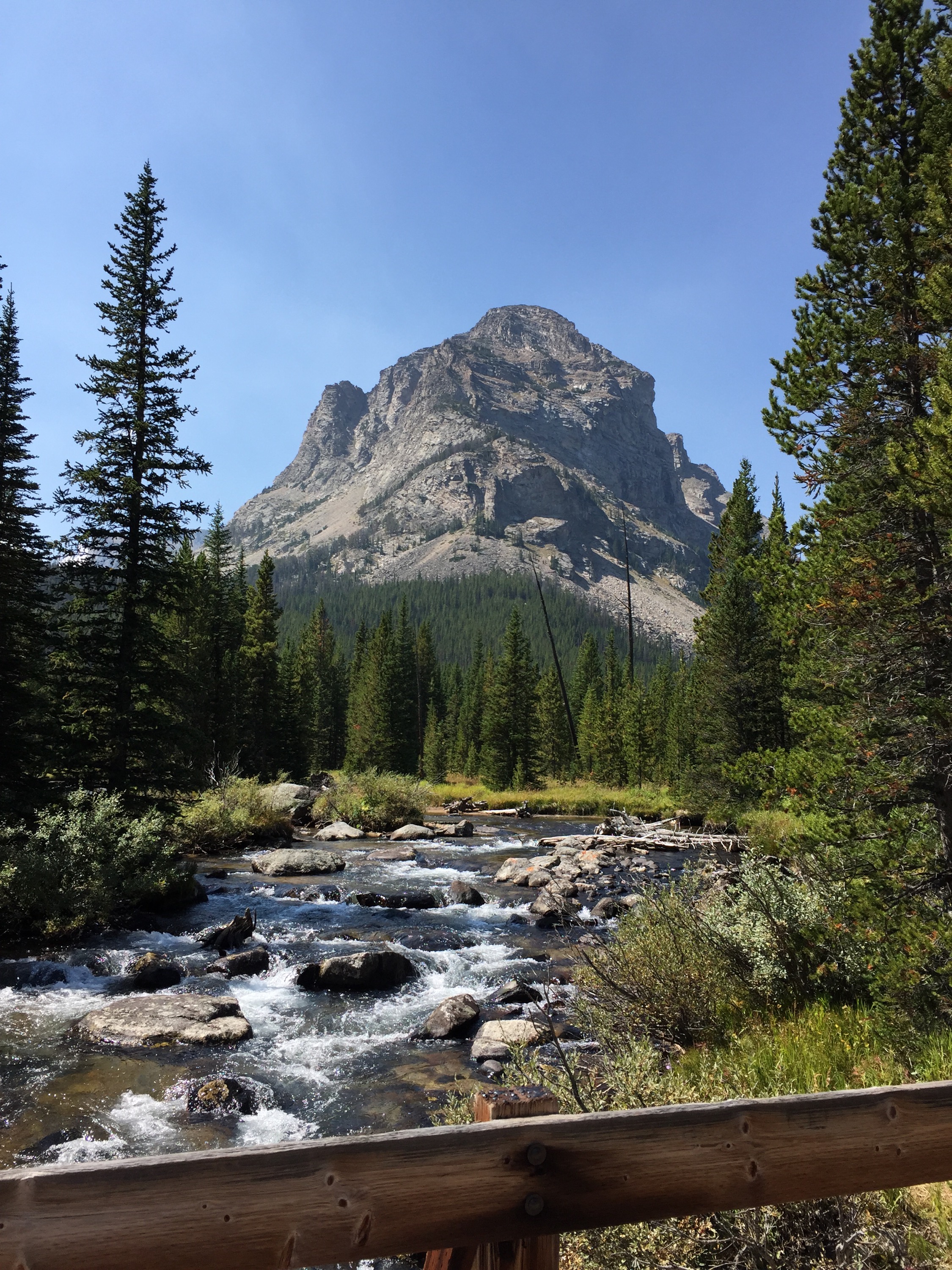
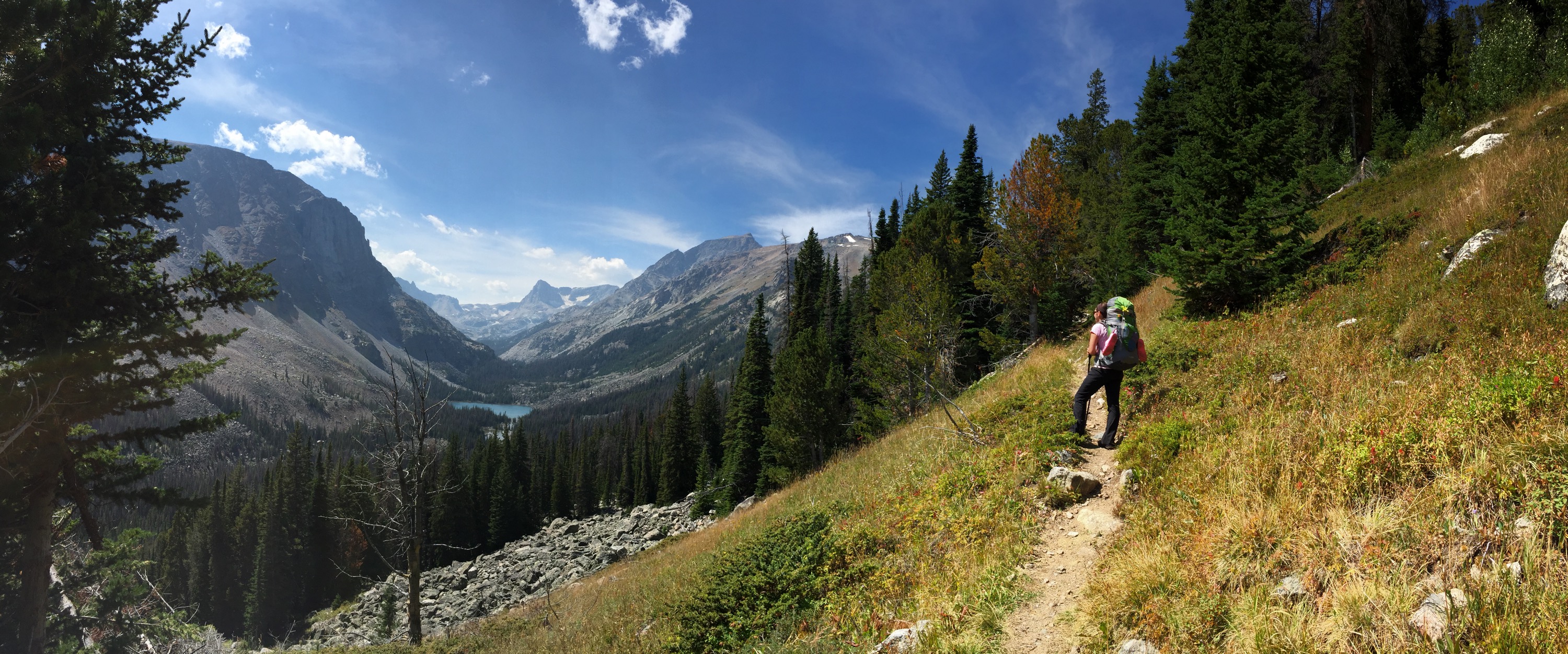
The trail runs along Rock Creek for a few miles so we get to see and hear a lot of white water. The views are gorgeous!
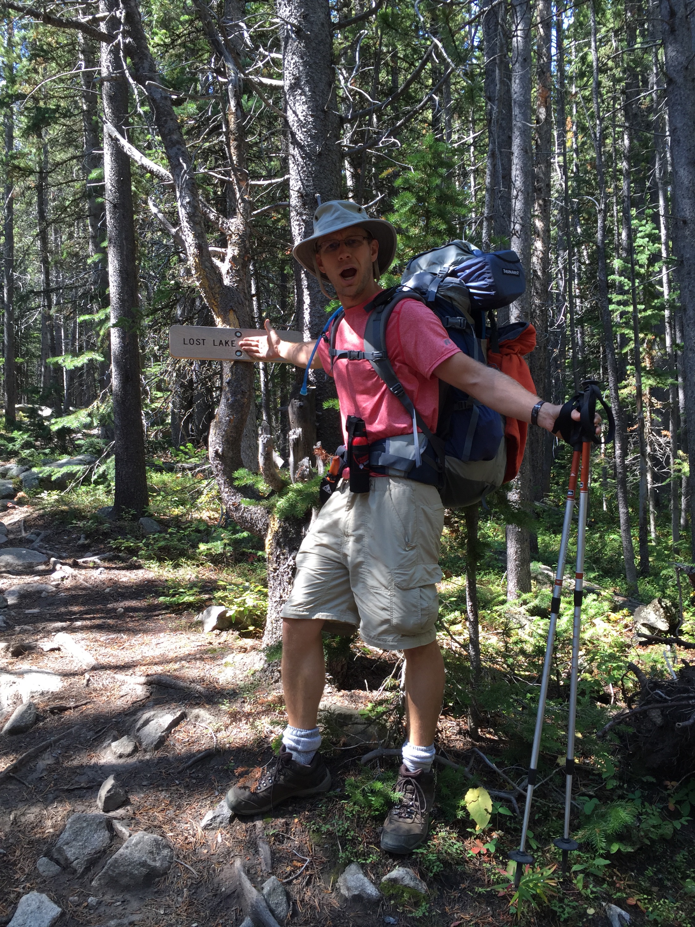
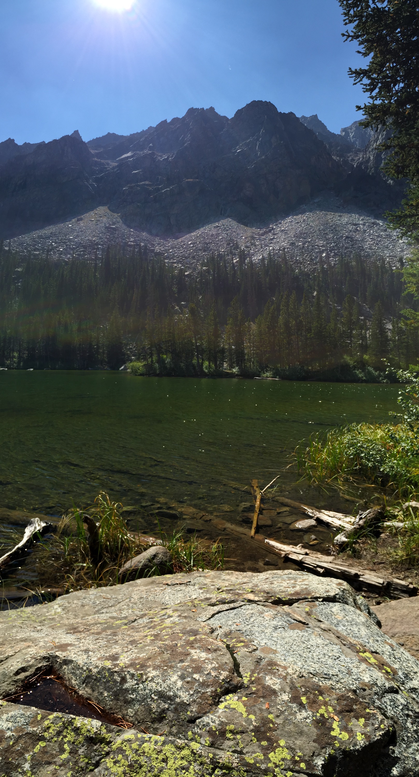
5 miles along we come to a 0.3 mile side trail that goes to Lost Lake (Lost? There’s a trail that leads right to it!) It’s a beautiful mountain lake, surrounded by mountains with sunlight glistening off the surface. We have it all to ourselves and enjoy lunch on its shore.
After a delightful break we continue along the trail as the incline becomes more pronounced. We pass over a bridge (without a troll), cross a waterfall/stream that bisects the path and stop to enjoy views of Keyser Brown Lake. Along the way we make human noises to announce our presence to bears (and elk) so as to not come upon them unaware. We whistle and talk – discussing our finances, the new books we’re reading, and whatever else comes to mind. Our discussions sometimes lag, though – due to a lack of fresh topics or air. We’re definitely climbing!
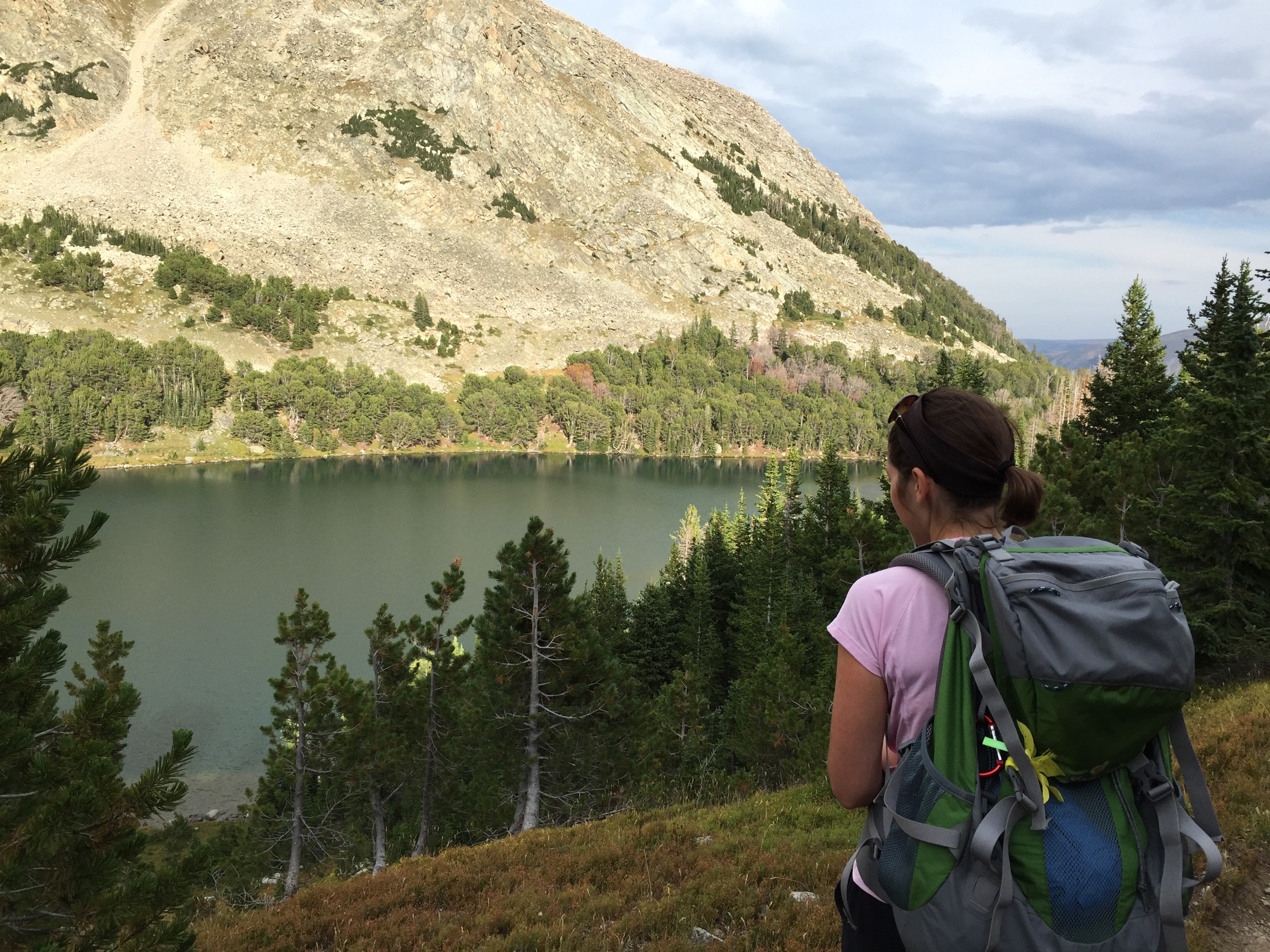
8 miles in we reach September Morn Lake and join a dozen others as we pitch our tent. With camp set up and food safely stashed (the requisite 100 yards away) we reshoulder our nearly empty bags and follow the trail for 2 more miles, up to Sundance Pass.
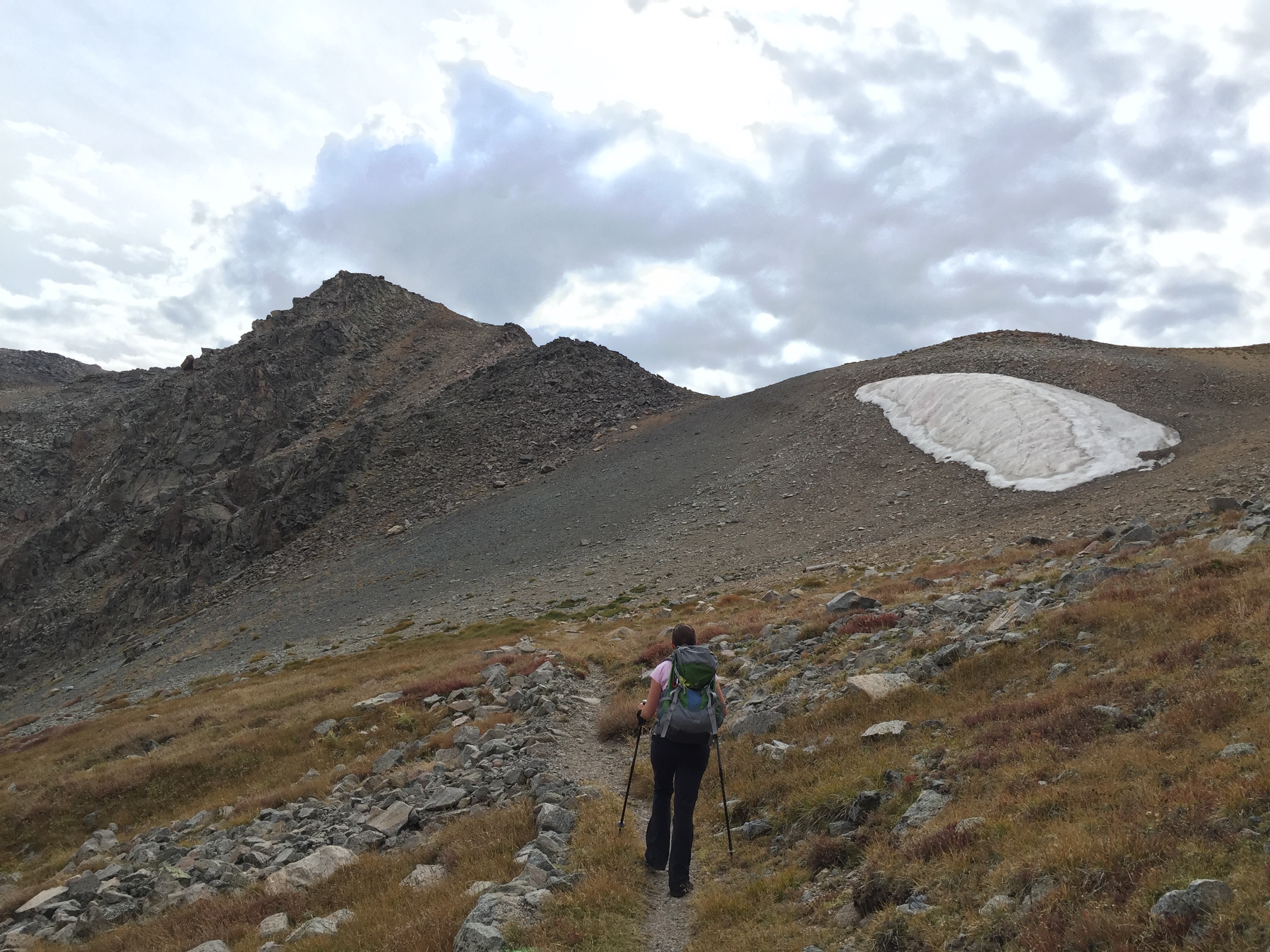
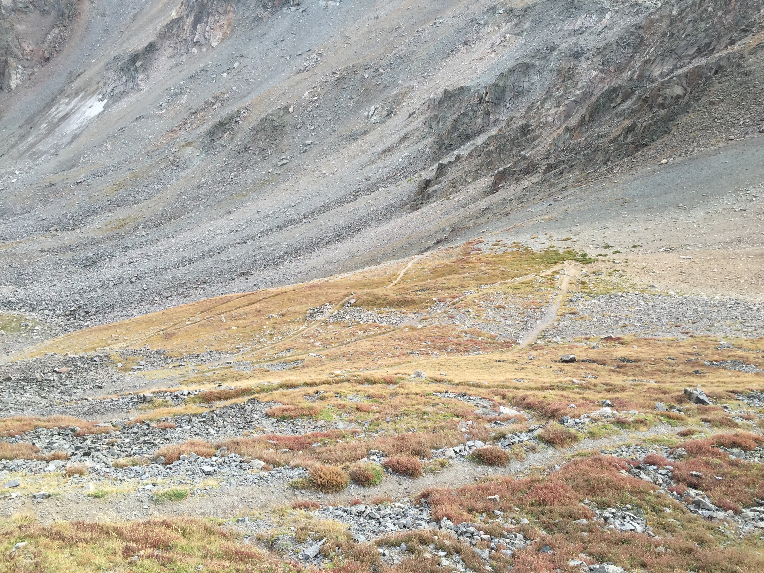
Though we walked 2 miles, in a straight line it couldn’t have been more than 1/4 of a mile. So many switchbacks going up the pass, it looked like a zipper going up the side of the mountain. But oh was it worth it! There’s nothing like coming up over a pass, the other side revealing itself as you crest the ridge.
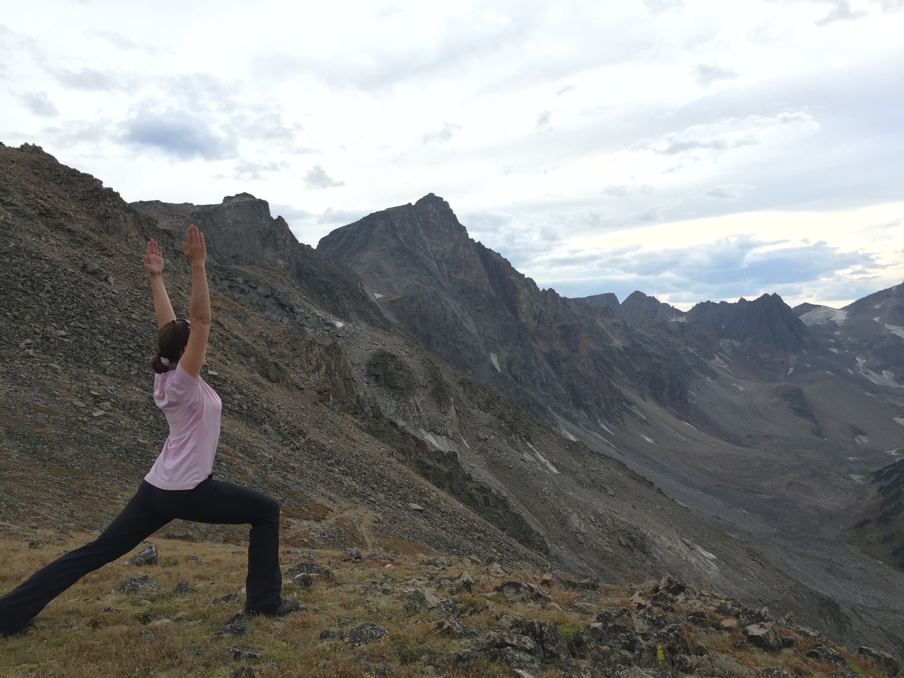
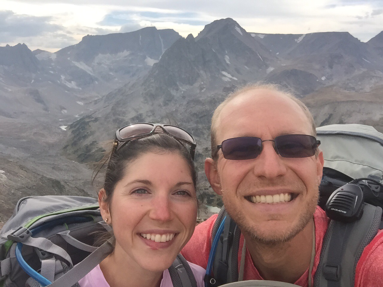
The mountains on the other side are much more rugged – topped with sharp, jagged peaks. And the trail down looks even steeper than what we just climbed. Though we passed 100′ from an ice sheet, we can see dozens on the other side of the valley. Even if you could get this kind of a view from a car trip, it wouldn’t be the same. And, unfortunately, you hve to be there to really see it – pictures just won’t do it justice.
Though we know the zig-zags on the map will be hard, we also know they’ll be worth it.
After a few minutes of enjoing the view (and listening fruitlessly for a radio signal) we head back down. It’s cold at 11,045 feet and windy. We’ve climbed roughly 4,000 feet today and have 2 miles to go to get back for supper.
We eat supper and enjoy a view of the lake before heading in to our tent. I try to journal a bit and we lie down to pass the night – expecting little sleep as we listen for bears, spray near at hand.
