Journal entry – 18 Apr 2016, Mon – Backpacking the Mist Trail to the JMT

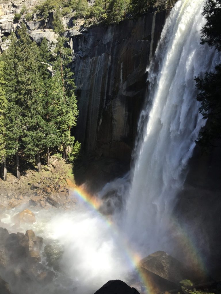
Wake up early, load up, and hit the road in the RV around 7am. The roads are pretty empty so it’s easy going. We get to the trailhead parking lot and easily find a spot. Then it’s on to the small store in Curry Village to pick up a few lunch items for the next few days. We have a stash of oatmeal and Mountain House meals for spur of the moment backcountry trips (or emergency situations) so we are set for breakfasts and dinners, but we need some snacks for lunch throughout the day. Fully supplied we make our way to the trailhead and begin our hike. The Mist Trail is one of Yosemite’s most popular hikes, so normally it’s crowded with people. However, at 9am it’s pretty sparsely populated and we have nobody tailing us or slowing us down. We make it to Vernal Falls, a beautiful, fast-flowing waterfall and the trail works it’s way up right beside the fall via stone steps. It’s a wet hike due to all the mist and we get pretty soaked, but it’s fun and a great way to cool down. We make it to the top and remove our packs to enjoy the view a bit.
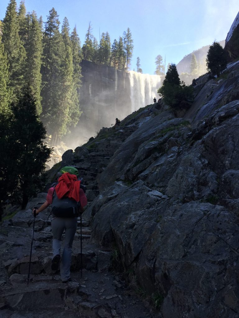
Hiking up the Mist Trail
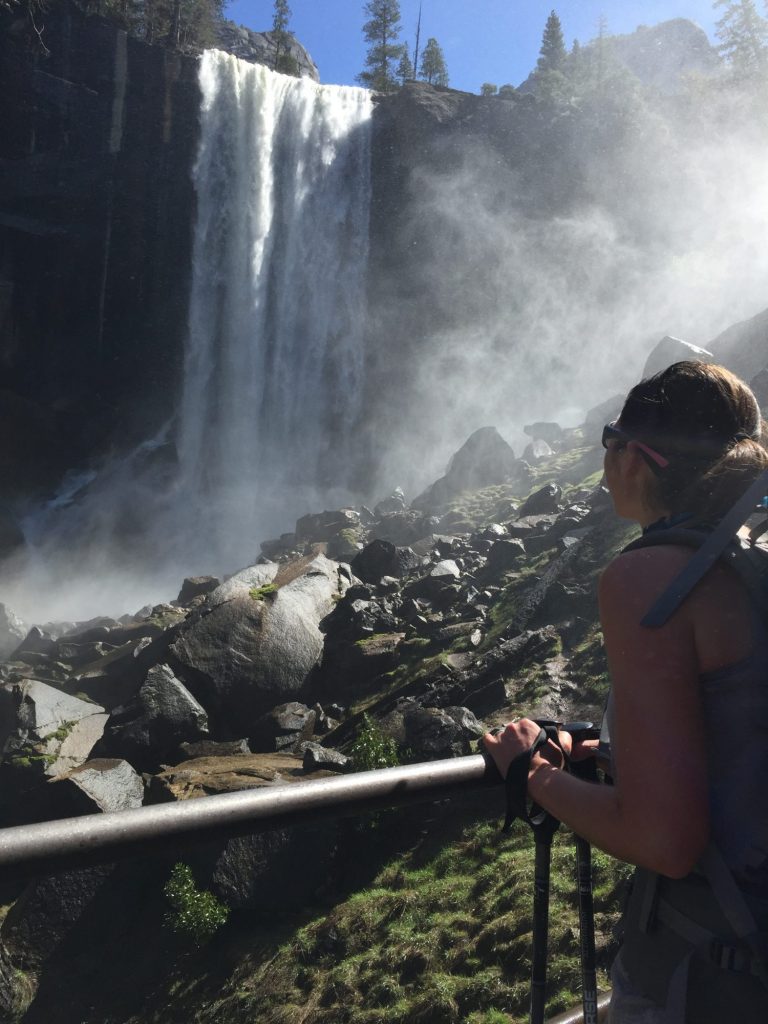
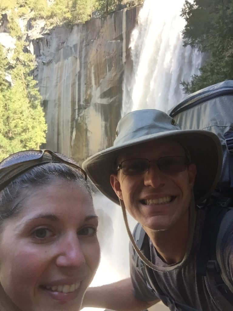
Hiking up the Mist Trail

2016-04-18 10.25.21

Mist Trail lives up to its name

Mist Trail lives up to its name

2016-04-18 10.32.39

Continuing on, we work our way up some switchbacks until Nevada Falls comes in to sight, then it’s up more switchbacks to the top. Spectacular views of the falls and surrounding valley. The water is just rushing down with such velocity and volume, spring sure is a great time to visit!
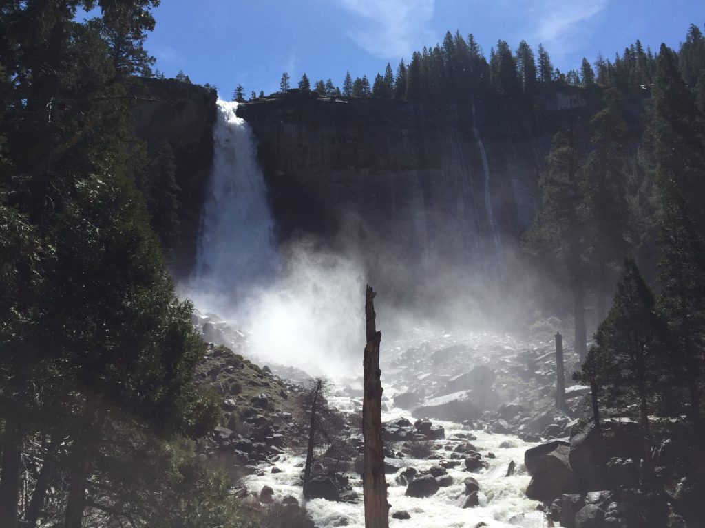
2016-04-18 11.13.40

Another mile past Nevada Falls we have arrived at the Little Yosemite Valley backcountry campground. We’ve never stayed at a backcountry campground, so it’s a new experience for us. There is an outhouse here with composting toilets (what? no digging your own poop trench? this isn’t backcountry camping!) and bear lockers are provided. Apparently this area is very heavily used in the summer months once the cables go up on Half Dome and you can hike up to the top. Therefore, it is also the area in the park with the most bear encounters due to the large volume of people. However, in the spring, before all the Half Domers and JMT hikers have begun, it’s a peaceful little spot. We spot only one other group of three here at the moment and snag a campsite way at the end, tucked away in a corner of the woods. We can see Half Dome looming behind the trees at our site.
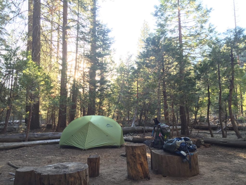
camp at Little Yosemite Valley

camp at Little Yosemite Valley

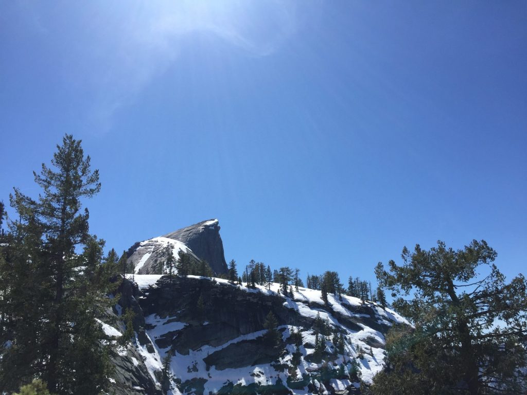
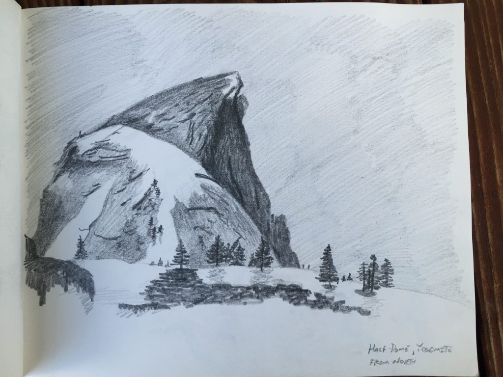
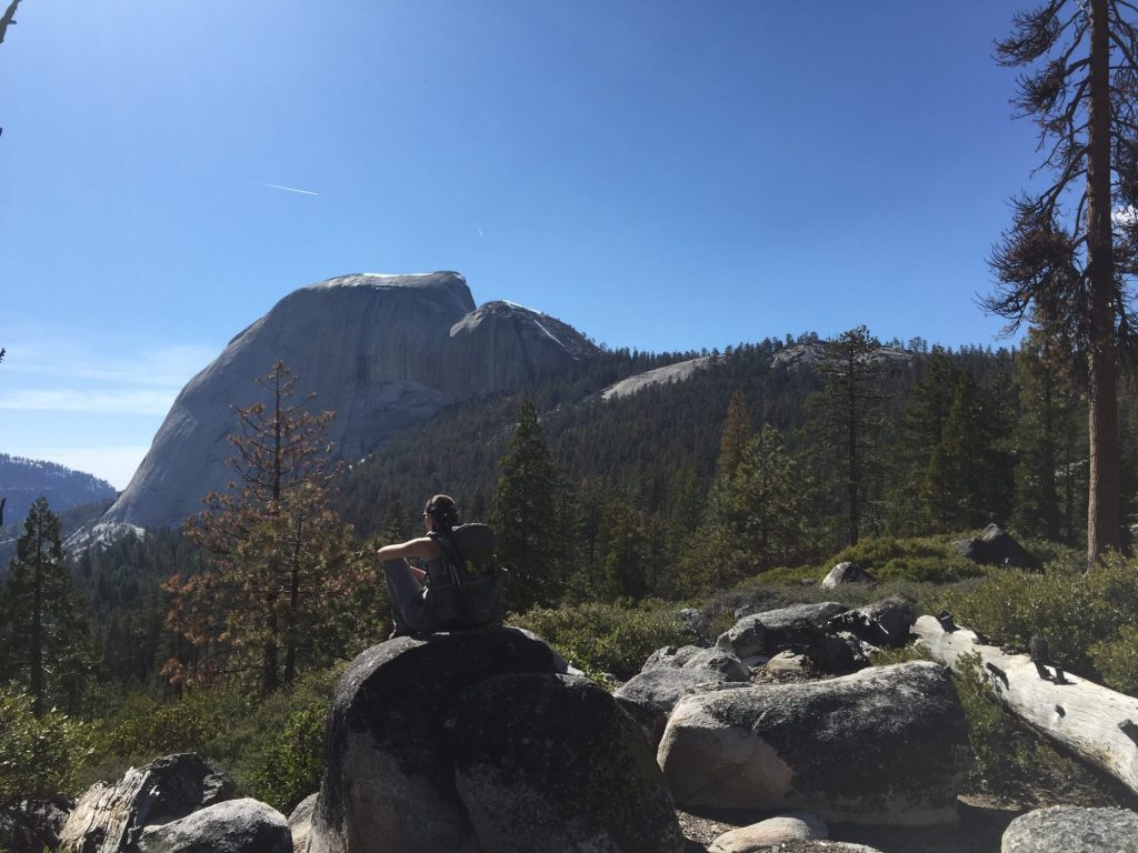
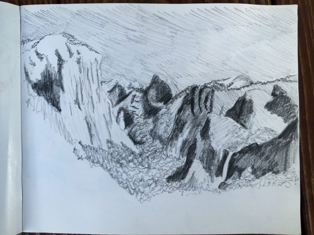
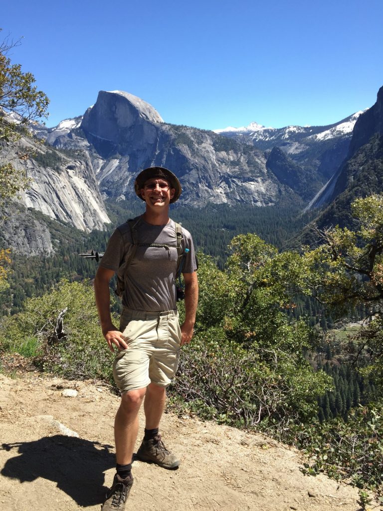
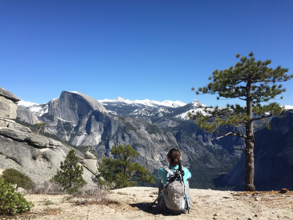
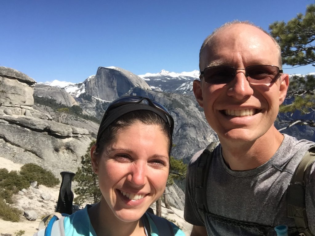
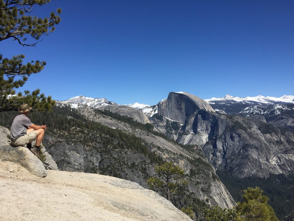
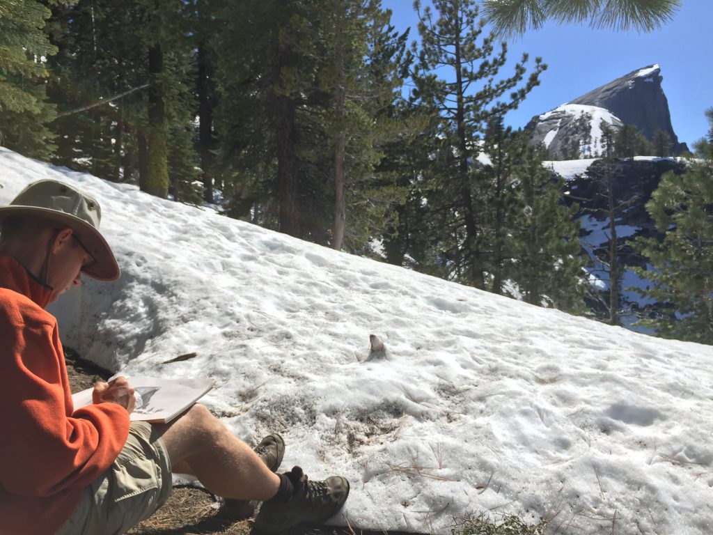
We set up camp, eat a quick snack, and then head farther down the trail to the Half Dome Junction. The actual Dome is still snowy, but most of the trail to it is not, so we work our way up the trail in hopes of some good views (and a permit is not required at this time of year since you can’t actually climb to the top). We make it about 1.5 miles before the snowpack really starts (the whole trail is only 2 miles). Luckily, we are just about at the base of the Dome, so we have some spectacular views of its northern side and the surrounding valley, yay! We sit down on a bare spot of ground surrounded by snow and Matthew sketches the Dome. We enjoy the view for quite a while and then head back down.
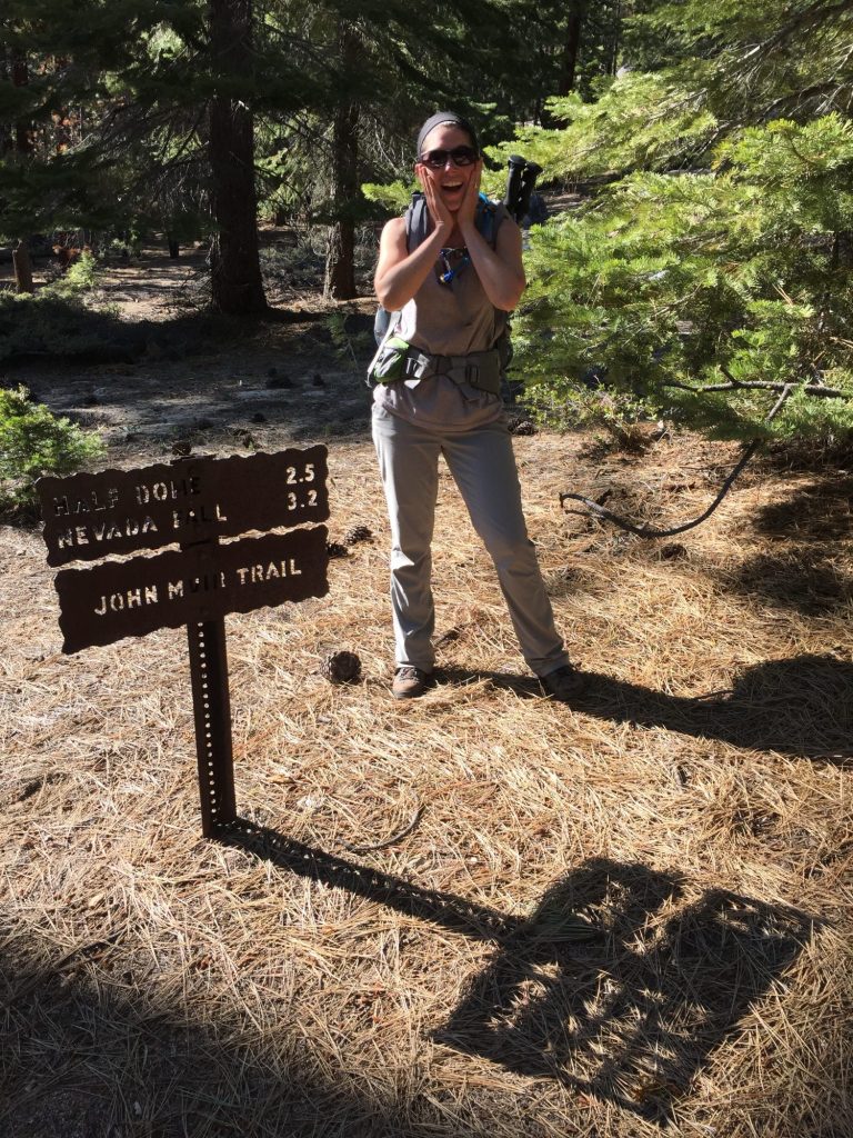
finally on the JMT!
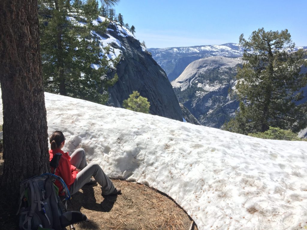
finally on the JMT!

2016-04-18 14.56.33 2016-04-18 15.22.21

Half Dome from North side

Half Dome from North side

2016-04-23 10.16.45 2016-04-18 16.11.15

Back on the JMT, we continue on a little farther, past the Clouds Rest Junction, enjoying the spectacular scenery. Finally, hungry for dinner we head back to camp, prepare dinner (the chicken and rice tastes spectacular to us tonight!) and head to bed early, full and happy! Great day of hiking, about 11.5 miles cumulative.
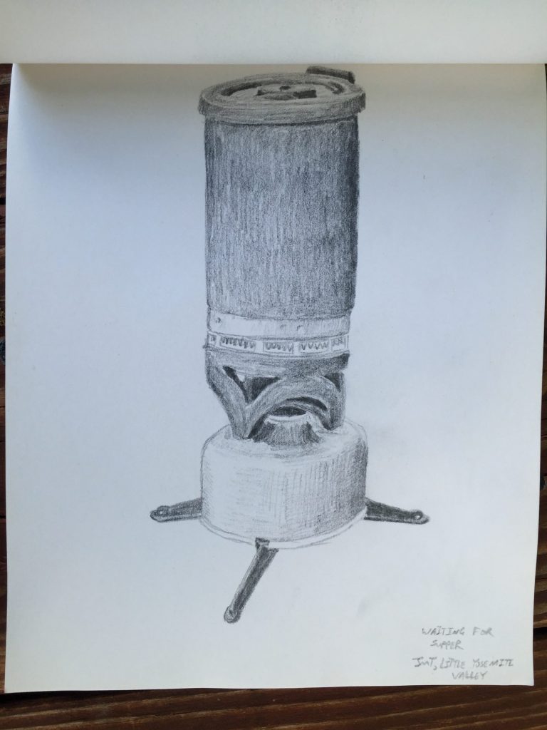
JetBoil while waiting for supper
JetBoil while waiting for supper
Journal entry – 17 Apr 2016, Sun – Inspiration Point, Sketching, and Backcountry Permits

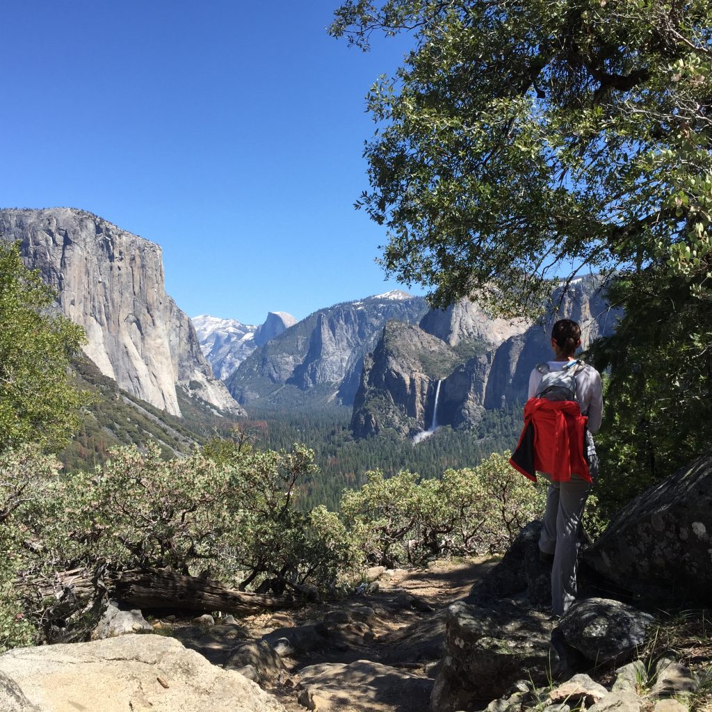
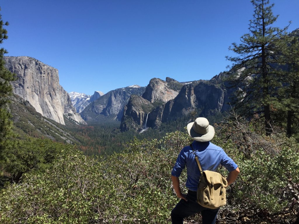
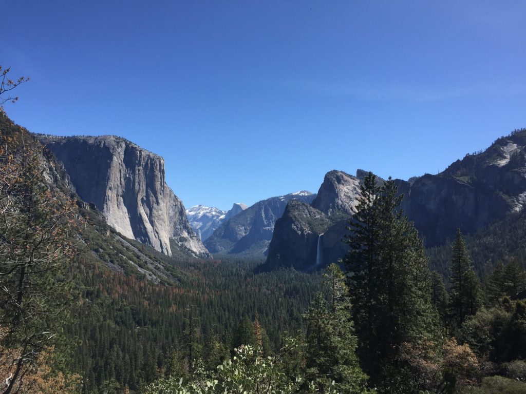
We decide to have a nice leisurely day in Yosemite today and so we opt for a short hike up to Inspiration Point which affords spectacular views of the valley without all the crowds. We motorcycle through Tunnel View again and stop just beyond it to begin our jaunt. Up we go (and apparently we didn’t drink enough water yesterday because we’re both parched and feeling sluggish). We make it to the top for a great panoramic view of the valley where you can see Half Dome, El Capitan, and Bridalveil Falls in all their glory. We sit, Matthew gets out his sketch book and charcoal and away he goes, apparently inspired on Inspiration Point. After about 30 mins, he finishes his sketch and we head back to the motorcycle and, once again, down to the valley.

2016-04-17 13.10.12

Yosemite Valley from Inspiration Point

Yosemite Valley from Inspiration Point

Yosemite Valley from Inspiration Point, Yosemite NP

Yosemite Valley from Inspiration Point, Yosemite NP

2016-04-17 13.12.06

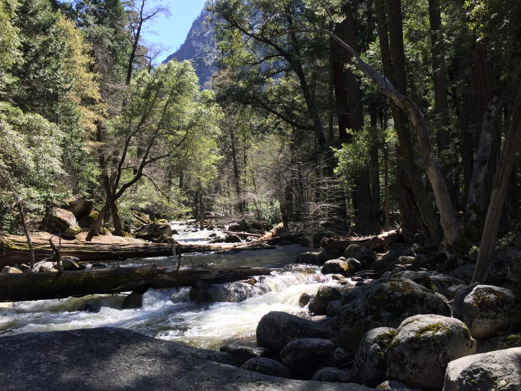
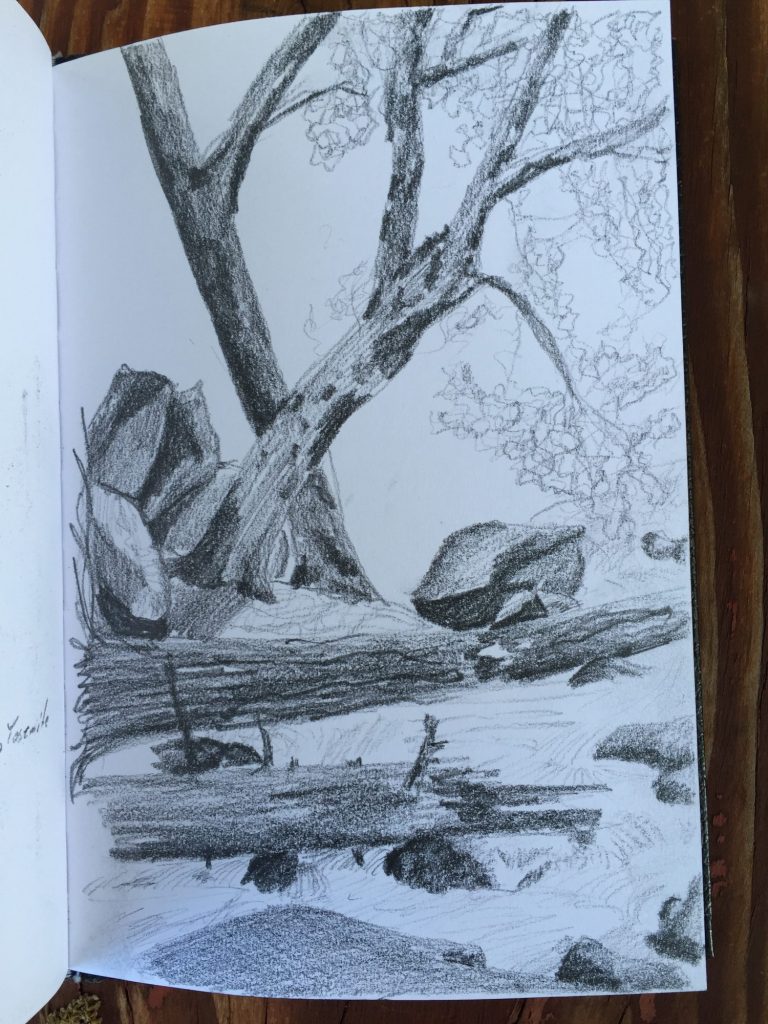
We grab our salad lunches from the saddlebags and catch the shuttle to the Happy Isles stop. After walking a short way along the river down the Happy Isles trail we spot a great lunch spot, a huge boulder at the edge of the rapid water. We climb up and recline as we enjoy lunch and Matthew sketches again.

2016-04-17 14.42.01 HDR

Happy Isles, Yosemite NP

Happy Isles, Yosemite NP

Then it’s back in to town where we check out the Ansel Adams Gallery and then we head to the Visitors Center to get our wilderness permit for tomorrow. The same friendly ranger we talked to the day we arrived gives us our permit. She also confirms that we can park at the wilderness trailhead parking lot but advises us to get there before 10am since it fills up quickly. Our hike will start at Happy Isles and take the Mist Trail up (past Vernal and Nevada Falls) and then on to the John Muir Trail until we get to the Little Yosemite Valley backcountry campsite. Then, on the way back down we’ll take the JMT the whole way for a change of scenery!

We head back home and get packed up for tomorrows excursion.

Journal entry – 16 Apr 2016, Sat – Upper Yosemite Falls and Yosemite Point

It’s a cool morning so we layer up our clothes until we feel like the Staypuff marshmallow man and then on the motorcycle and in to Yosemite Valley. Today is a lot busier than yesterday and we are glad to be on the motorcycle for ease of maneuvering and parking!

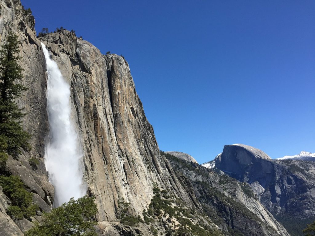
We take the shuttle to the trailhead for Upper Yosemite Falls, a very strenuous 7.2 mile roundtrip hike with a 2,700 ft elevation gain according to the park guide newspaper. Sounds like a good hike to do on a busy day, since most of the hard trails tend to be less populated. The trail consists of about 60 switchbacks and is continuously uphill. The views are great, but we do end up in a big line of people. However, as the going gets tough the crowds start to thin and we find little pockets where we get to hike by ourselves, letting people pass or passing others in order to keep our pocket of solitude.

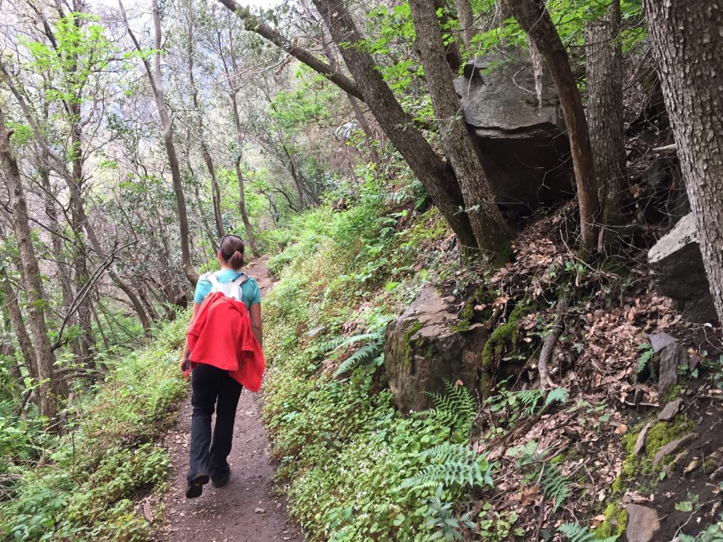
Hiking the Upper Yosemite Falls Trail

Hiking the Upper Yosemite Falls Trail

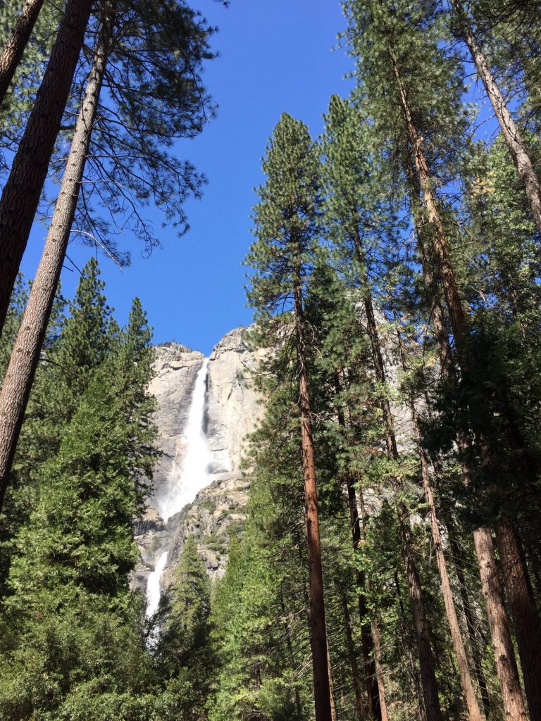
Upper Yosemite Falls

Upper Yosemite Falls

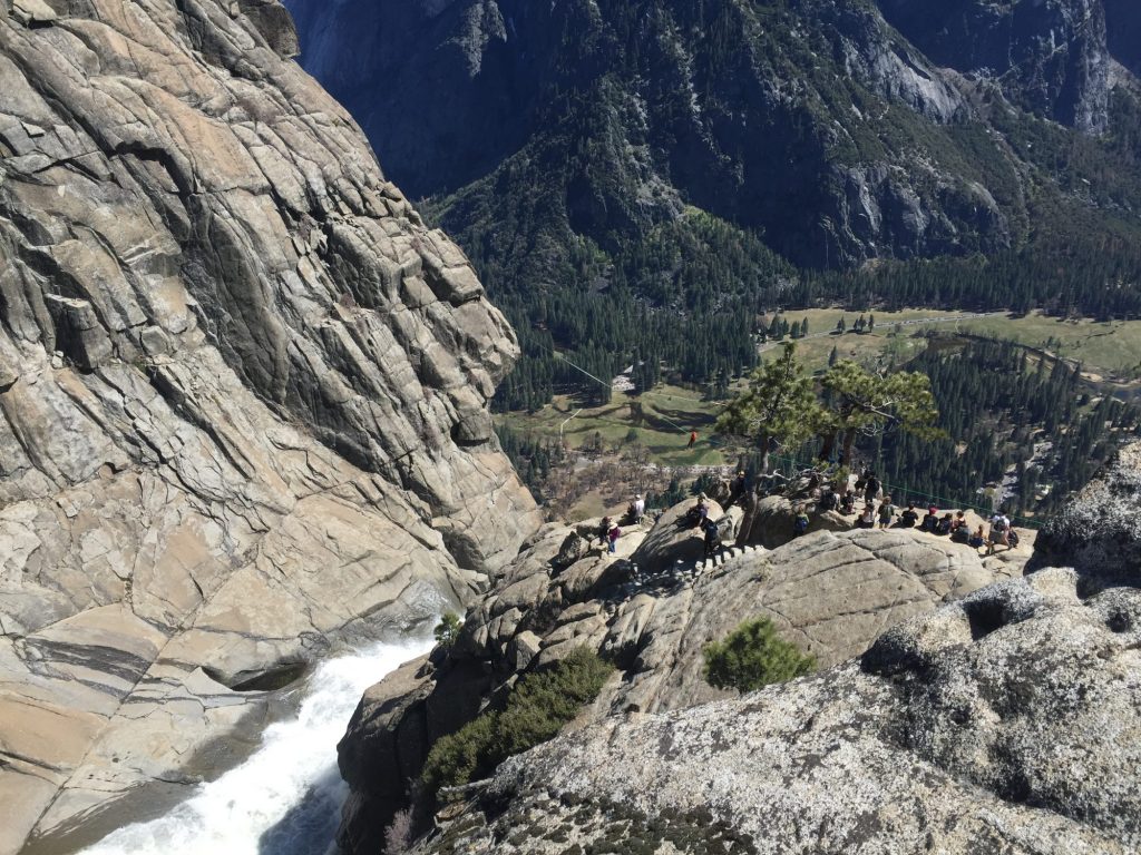
We finally make it to the top of the falls where we relax and have our lunch. There are quite a few people at the top and there is a slack-line spanning the width of the waterfall to overlook the rushing water and canyon below. There are a few people (rockclimbers, I assume) zipping their way across the slackline (one at a time) – what an adventure and view they get – straight down the waterfall!

The top of Yosemite Falls

The top of Yosemite Falls

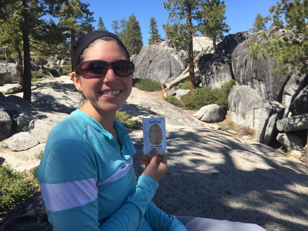
Snacks along the trail

Snacks along the trail

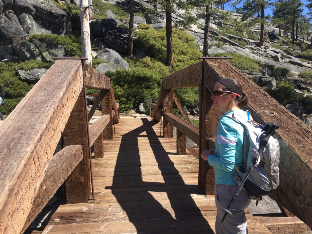
Just one more mile up and away across the falls is Yosemite Point. We can see it from where we sit and there appears to be less people there so we make our way toward that trail. Over the footbridge, across the falls, and up we go again but this time through a few patches of snow! We get to the Point and the views are breathtakingly spectacular! There are only about 6 people here and we find a little spot on the edge all to ourselves. We sit for a while, just enjoying the scenery until we decide it’s time to head back down the trail. It’s hard to make ourselves leave it’s so amazing!

Bridge across Yosemite Creek

Bridge across Yosemite Creek

Enjoying the view from Yosemite Peak

Enjoying the view from Yosemite Peak

2016-04-16 15.12.06 2016-04-16 15.17.21

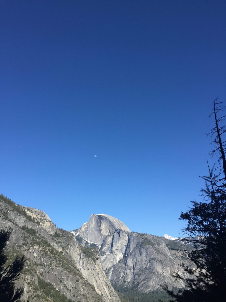
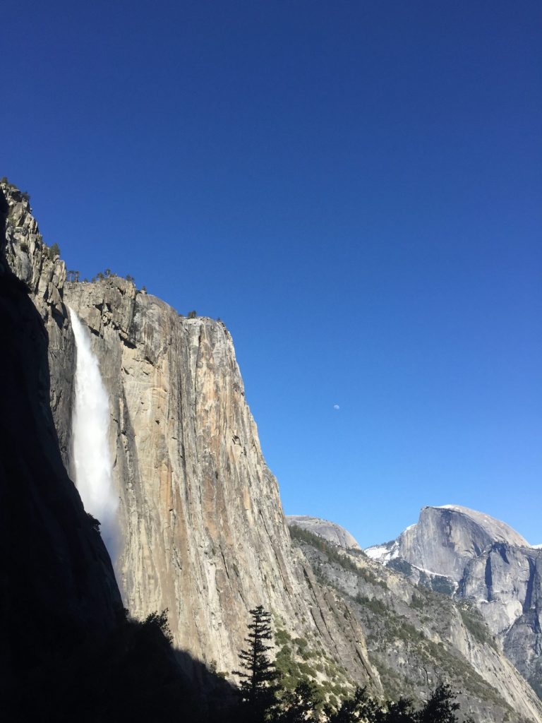
Trip back down is nice and less crowded. We could even see the moon (half-full) right above Half Dome!

Half moon above Half Dome

Half moon above Half Dome

2016-04-16 16.28.00

Journal entry – 15 Apr 2016, Fri – Moving out of and exploring Yosemite

Knowing where we were going, we had a leisurely breakfast and then packed up the RV to head out of the park. We left, headed up into the National Forest just outside of the park itself and snagged the camping area that caught our attention yesterday. Didn’t take us long to get leveled and in place, so we packed lunch, layered up our clothes, and headed back into the park to explore the Yosemite Valley.

The ride there was easy and a delightful mountain road with light traffic. The tunnel was, as always, fun to ride through. Emerging from the tunnel on the valley side was amazing – Ashley’s eyes misted up. El Capitan sits, watching over the entrance to the valley, waterfalls are scattered around the valley walls, and the floor is carpeted with a variety of green trees and meadows.

We stop and check out Bridalveil falls. So glad I had my rain gear in my pack – the mist left you soaked! I didn’t get a good view, though, as it was not only so misty but also backlit by the sun. Ashley waited longer than me and was able to get a clear view.

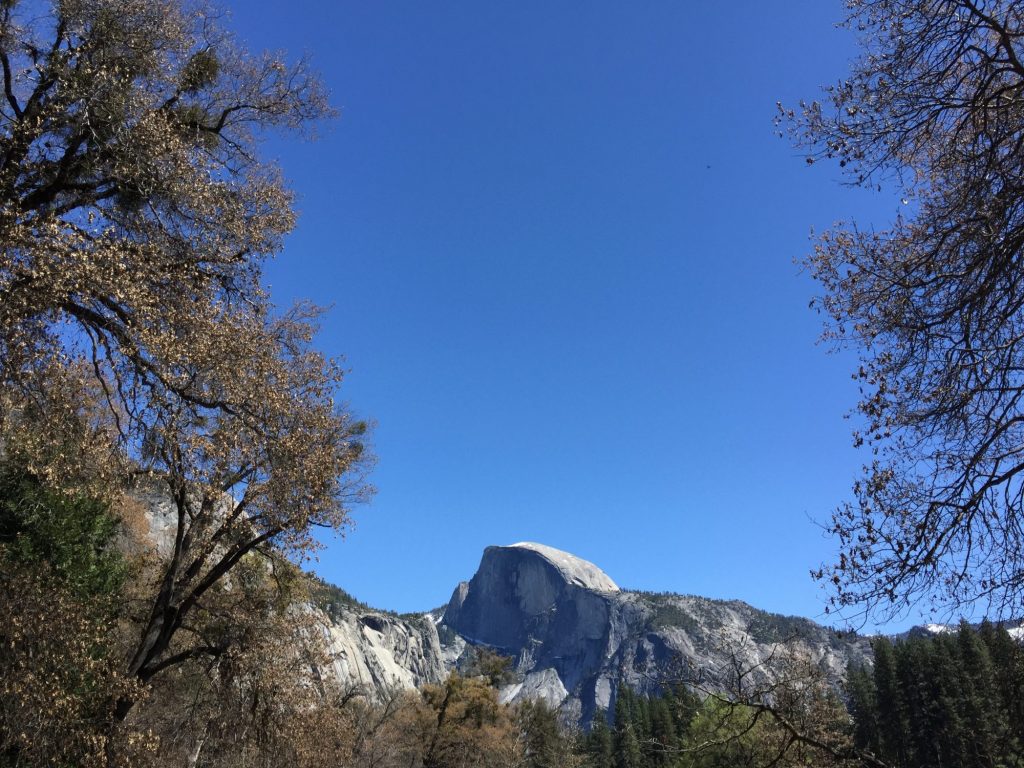
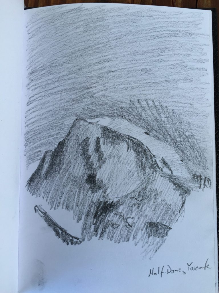
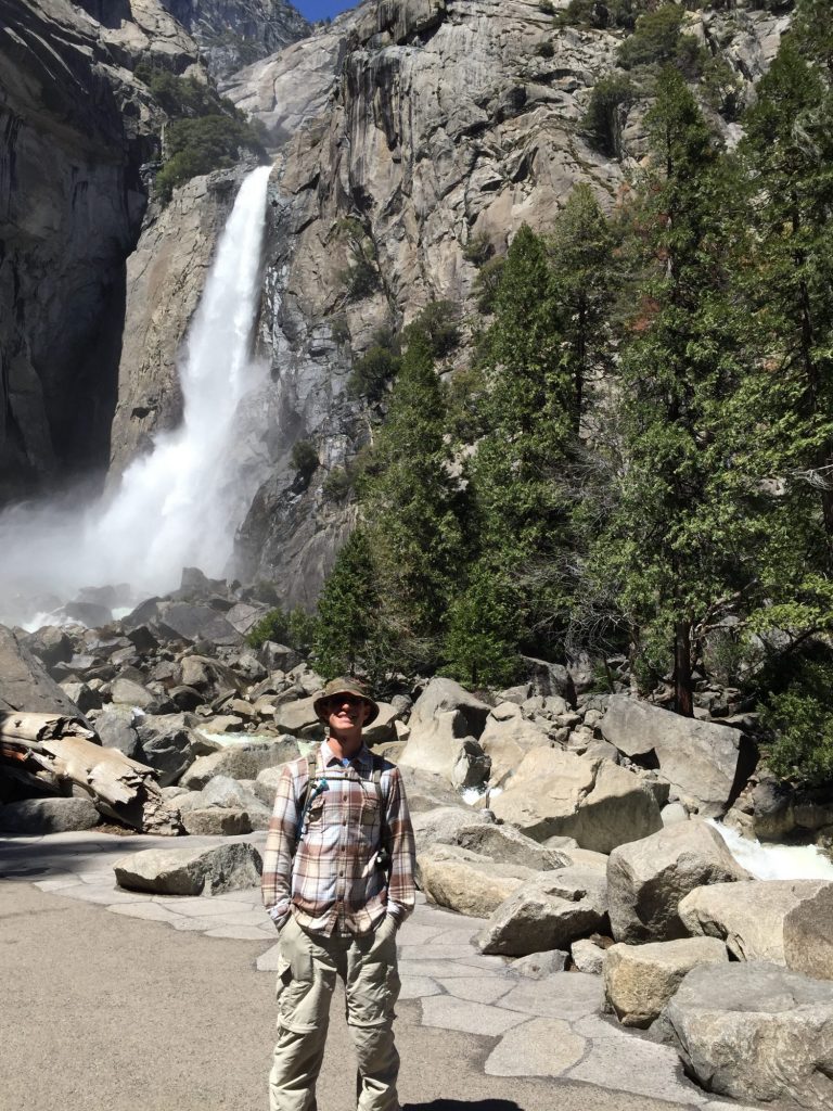
On into the Valley floor, we parked and headed into the visitor center to learn more. Received some trail recommendations and then hiked over toward the Lower Yosemite Falls trail for lunch. I enjoyed a fabulous view of Half Dome while eating, then sketched it before we headed out. Walked the path up to the bottom of Lower Falls. That’s an amazing amount of water to fall so far!


Half Dome

Half Dome

Half Dome, Yosemite NP

In front of Lower Yosemite Falls

In front of Lower Yosemite Falls

Yosemite Falls

Yosemite Falls


Back out on the road we catch the shuttle and ride around for a few stops – we get off and walk through the meadow, across the bridge over the Merced river. Just going slowly and enjoying the views.

Again on the shuttle we ride around the loop to the Mirror Lake stop. Get off and hike up to the lake, where we enjoy the view of Half Dome from down below.

Out on the road once more we ride the shuttle into the village. The art gallery and art center are closed. We check out the store – it’s a full grocery store in there! and then gear back up for the motorcycle. 3 layers later, we head out for home. Of course, we manage to get stuck behind the slowest cars possible. At home we fix supper and plan out the next few days. Hike to the Upper Yosemite Falls tomorrow, a break day on Sunday, and then the JMT on Mon-Wed.

Journal entry – 14 Apr 2016, Thurs – Moving into Yosemite

After breakfast we packed up and headed out, aiming for our next park, Yosemite. We stopped in Visalia for wifi – finally sent out the weekly Adventure-Some email and looking up camp site options inside Yosemite. Really nice coffee shop (Tazzaria) and delicious wrap that we split for lunch. Pulling out, I turned too sharp and scraped across a light post – poked a small hole in the side of the RV – it’s fiberglass, though, so a patch should be pretty easy to do. Until then we’ve got a strip of white duct tape covering it.

Stopped at the visitors center before heading into the park. Learned about campground options, trails, and also the back country camping options in the adjacent national forest.

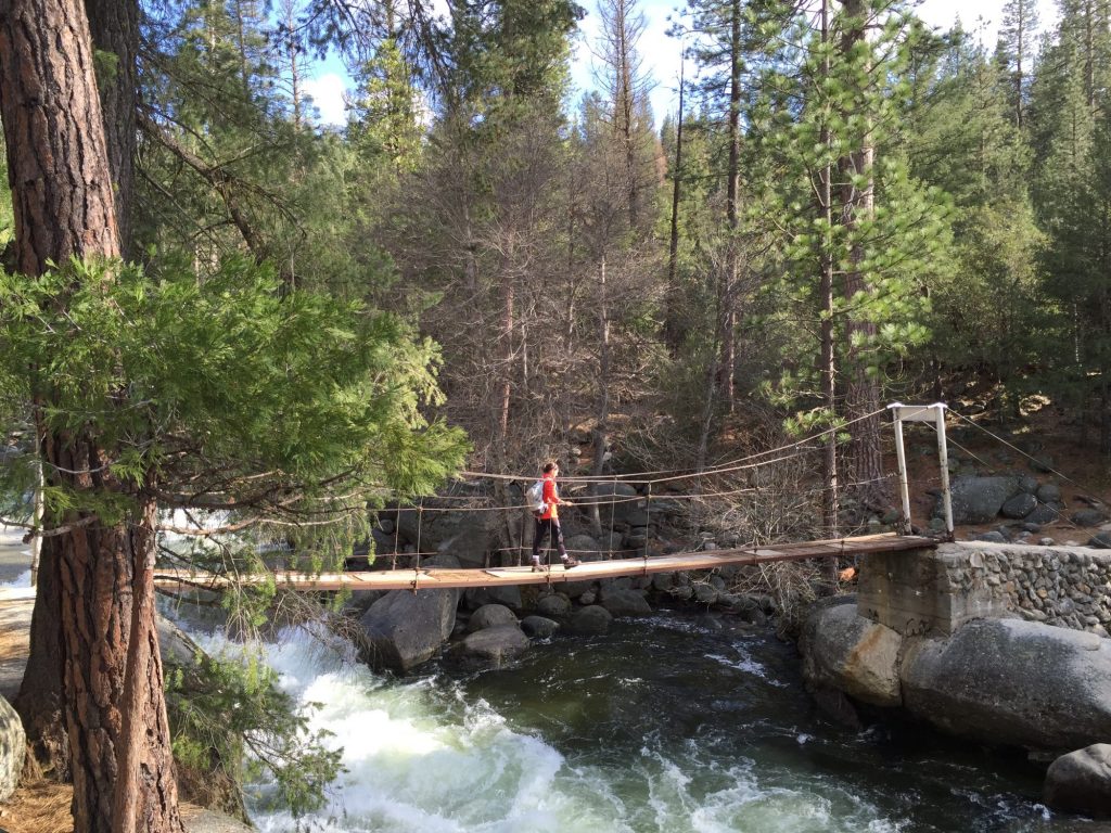
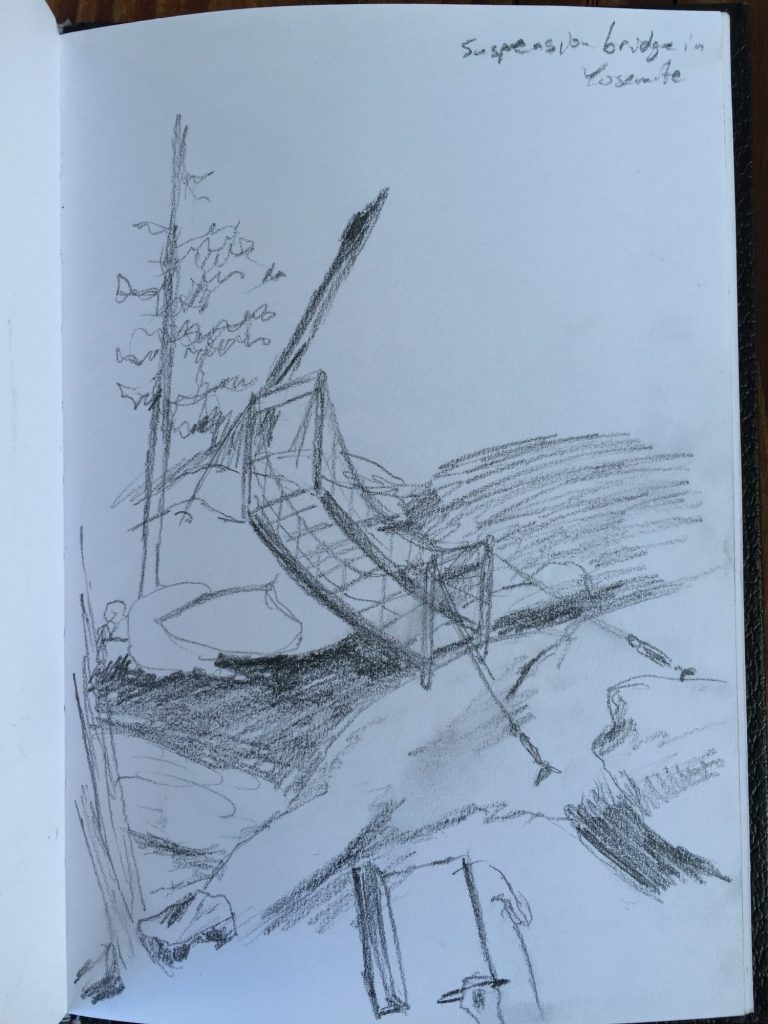
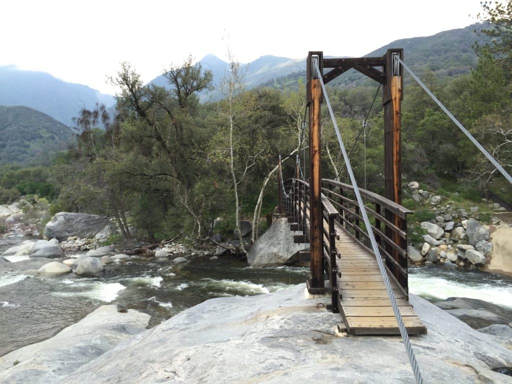
Headed into the park and got a campsite at Wawosa, then hopped on the motorcycle for a short trail. Ended up being about a mile long with a suspension bridge across the stream in the middle. Beautiful stroll with only a couple of people on it. We paused at the bridge on the return and I quickly sketched the scene.

2016-04-14 17.16.33 2016-04-23 10.15.45

Back on the motorcycle, we headed out of the park to find the nearby boondocking location. We can’t get a campground ahead of time, it would be on a day-by-day basis, which just sounds stressful. Though we miss the turn and travel an extra mile or so, we find a great camping area (Goat’s Meadow Snowplay Area) just outside the entrance of the park, just a few miles further away from the campground we would be staying in otherwise. It’s big and empty and free!

We head back to the RV, eat supper, and then stroll through the campground before reading in bed.

Journal entry – 13 Apr 2016, Wed – Waterfalls and Kings Canyon

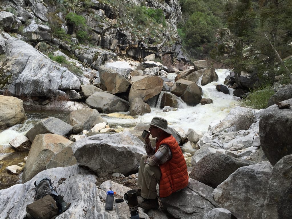
Woke early for a hike up to Marble Falls. The trail leaves from site 14 in the campground so it’s an easy start. We carry breakfast and coffee fixins with us. Part-way up the trail we stop and eat breakfast to perk our energy back up. At the falls we find a rock to sit on and enjoy some fresh coffee.

2016-04-13 07.49.12 2016-04-13 08.41.14

While there we discuss our plans for the day. Original intention is to head out and aim for the Azalea campground in Kings Canyon for a night or two stay before heading on to Yosemite. We decide that a day trip on the motorcycle up General’s Hwy is a better option. Excited about the change in plans, we head back down the trail to the RV.

Back at the RV I head out of the park to Three Rivers for a stop at the nearest gas station. While there I stop at a candy shop for a chocolate surprise for later in the day. The shared Ghirardelli square yesterday was a delightful treat and I want to replicate that. At home, Ashley’s got lunch ready. We eat and then head on out.

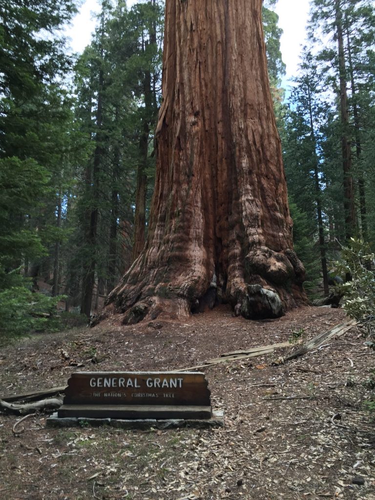
It’s awfully foggy on the way up, and rather cool. The high is 55 up in the mountains. We stop at the Kings Canyon Overlook but can’t see anything in the valley due to the low-hanging clouds. On to the Grant Grove. We park and walk around, checking out the General Grant tree – third largest (or fifth, depending on what signage you read) – the Nation’s Christmas Tree.

2016-04-13 13.52.22 HDR-2

2016-04-13 14.02.53 HDR-2A quick stop at the Visitors Center lets us read more about the park, catch the park video, and pick up some post cards for both Kings Canyon and Sequoia. We head over to Big Stump to tour the stumps remaining from Sequoias that were logged in the 1890s. Just imagine how big they’d be with another 100 years of growth! Getting up and walking on the Mark Twain stump really gives a sense of how massive these trees truly are.
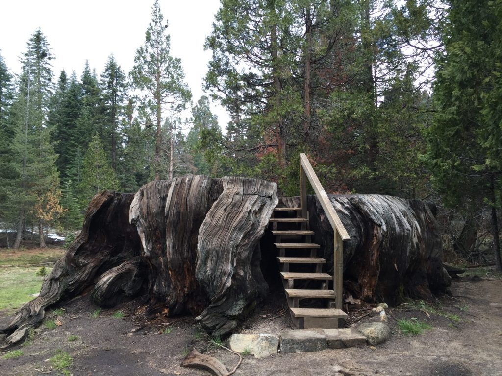
Mark Twain Tree stump

Mark Twain Tree stump

At the parking/picnic area we fix afternoon coffee and split the dark chocolate peanut butter cup that I picked up while getting gas. What a delightful treat!

It’s time to head home and we enjoy a fabulous, twisty ride back across the mountain range and then down the mountain to the RV. Supper, a relaxing evening and then bed – we’ll be heading out early tomorrow, aiming for Yosemite.

Journal entry – 12 Apr 2016, Tues – Pear Lake Trail and Giant Sequoias

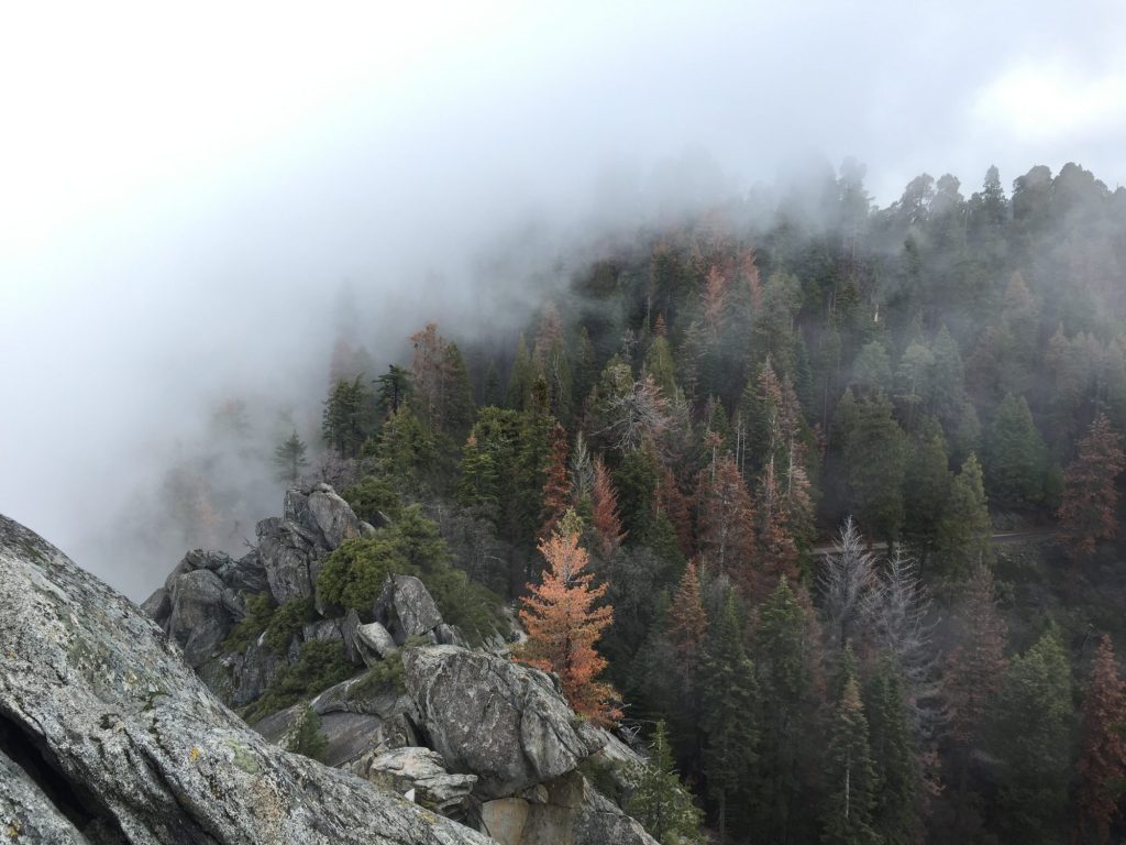
Started the morning early with a quick breakfast and then packed our daypacks to head up the mountain, past the General Sherman tree, and on to Wolverton where a Ranger recommended to us the 14 mile round-trip Pear Lake trail – a harder, longer trail that affords more solitude. Geared up with many layers of clothes, we take off up the twisty mountain road on the motorcycle. It is a clear morning, with blue skies and sunlight. We make it to the Giant Forest Museum and decide to stop and look at the information displays. Lots of cool facts about sequoias and we learn quite a bit. Across the road from the museum is the road to Moro Rock, a huge, dome-shaped granite monolith that you can ascend via lots of carved steps for views overlooking the Kaweah canyon. Since it’s a clear morning, we decide to detour to Moro Rock for a quick hike to enjoy the views. Unfortunately, once we get to the rock and begin our ascension, a large cloud of fog rolls in unnaturally fast and obscures our views before we can make it to the top. We continue however, but all we can see around us is a bunch of white mist. Ah well, it was a fun climb and a good morning warm-up.


2016-04-12 09.51.38


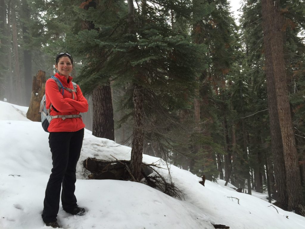
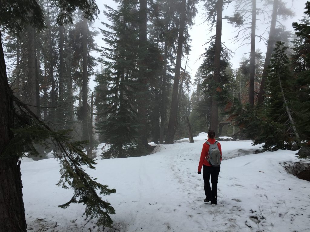
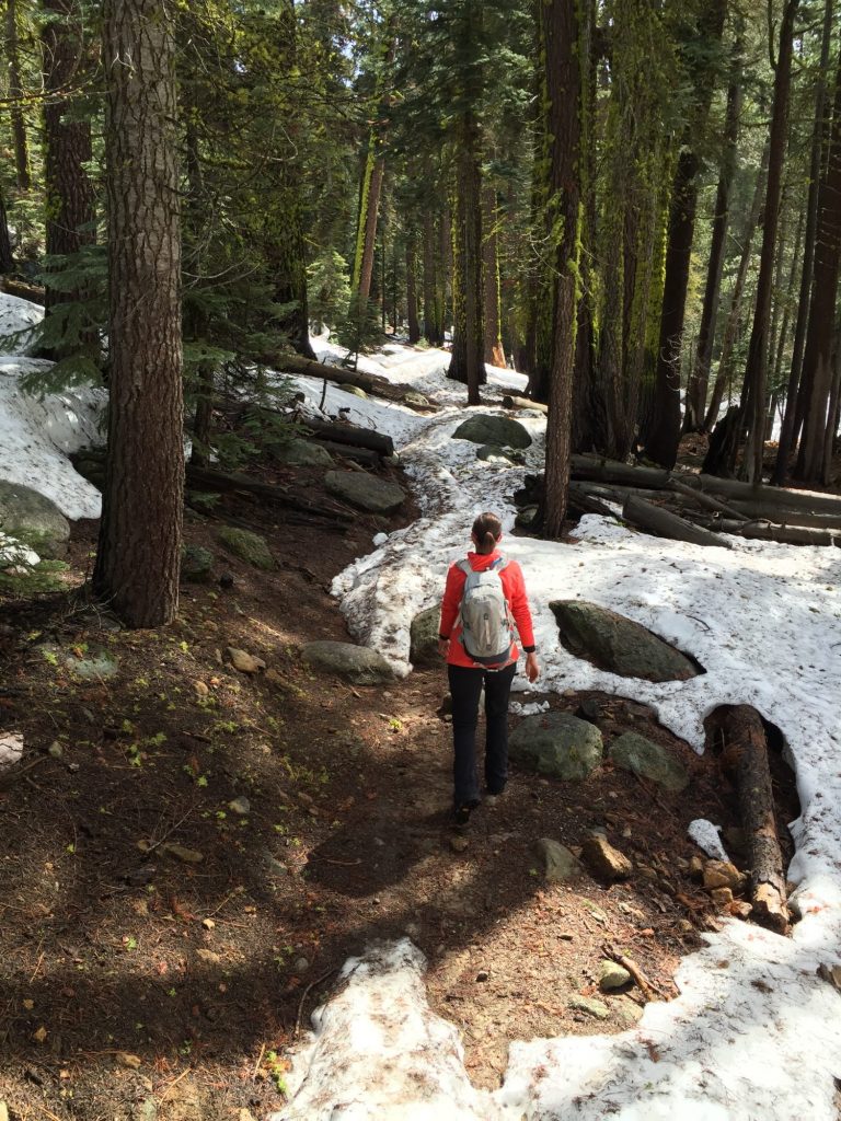
Hopping back on the motorcycle, we drive under Tunnel Log, a large fallen sequoia tree spanning the width of the road with a tunnel carved out of the center so that automobiles can drive through it. We’ve never driven through a tree before, so that was pretty cool. Back on Generals Highway, we finally head towards the trailhead, park and begin our hike. It’s begins as a gradual ascent with patches of snow and ice here and there, but as we hike higher the trail becomes mostly hard-packed snow. We are both noticing the effects of the elevation as we’re at about 8,000 ft and have been living at sea level for quite a while now! The trail splits for Pear Lake and we follow a steep grade up (no switchbacks at all!) “the Hump” – by which they mean mountain. It’s slow going through the snow and we have to make more stops to catch our breath than normal. We are following a snow shoe trail through the woods and not an actual hiking trail. We finally break for lunch and discuss our options. The thick, soupy mist has finally caught up to us. It’s damp and we can’t see very far in front of us, which means even if we do make it to Pear Lake we probably won’t be able to see it very well. I love doing hard hikes and being rewarded with amazing views, but without an amazing view it just feels like a lot of work for nothing. So we decide to turn around, head back to the motorcycle, and go back to the Giant Forest and do some more hiking among the amazing sequoias. The hike back down is an adventure because it’s all snow and basically straight down – we do a lot of slipping/sliding, and finally deciding it’s easier to just go with it, we ski down on our shoes using our hands as stabilizers. It was really a blast!

2016-04-12 10.57.51 HDR-2 2016-04-12 12.08.20 2016-04-12 12.19.03

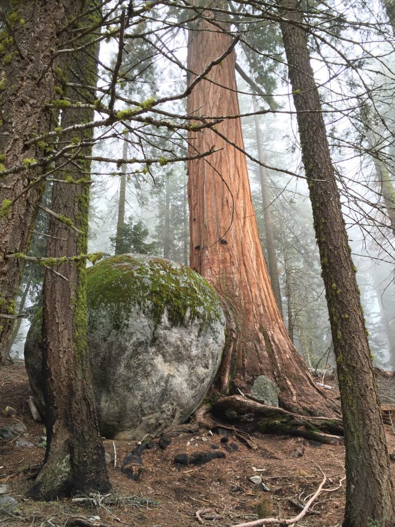
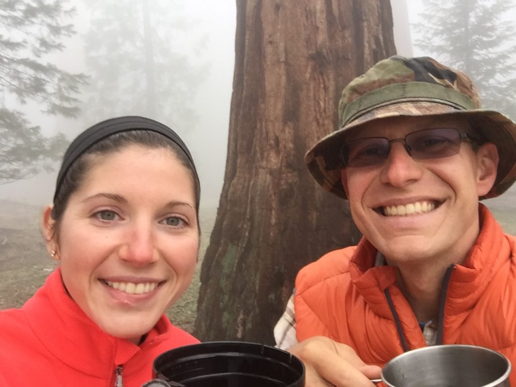
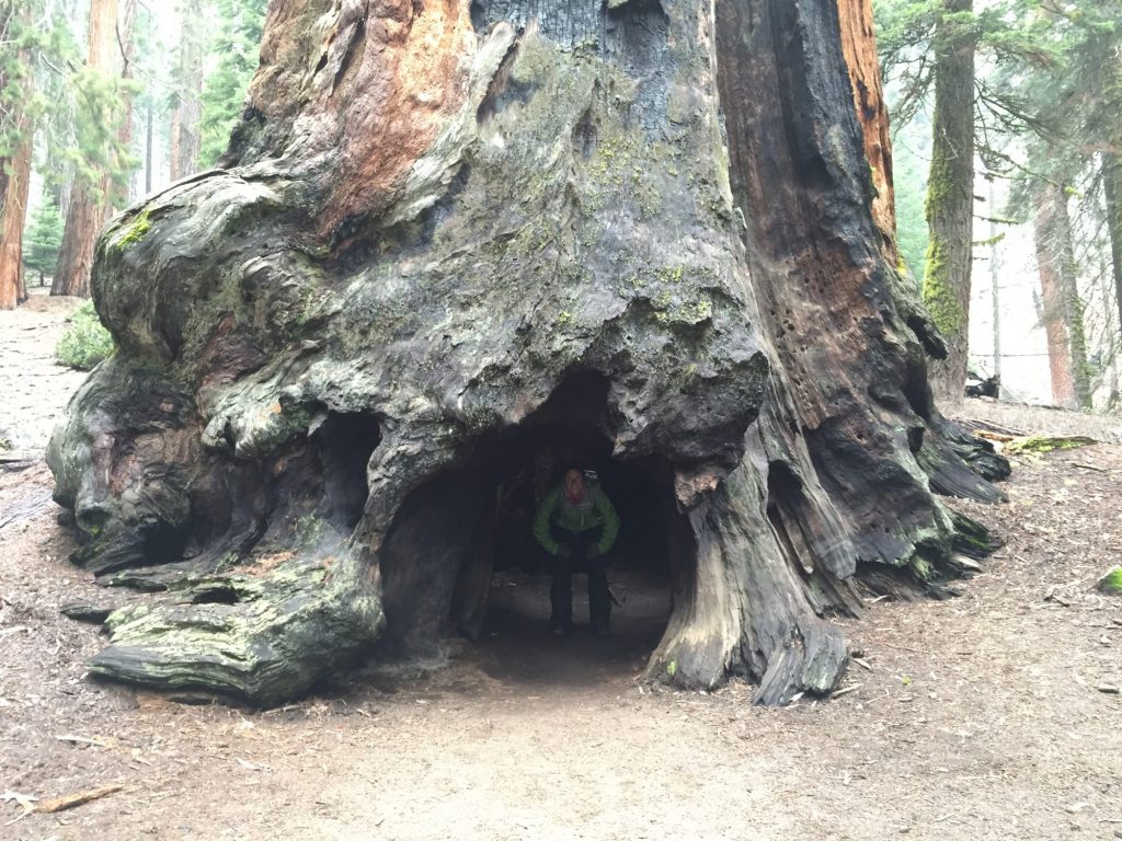
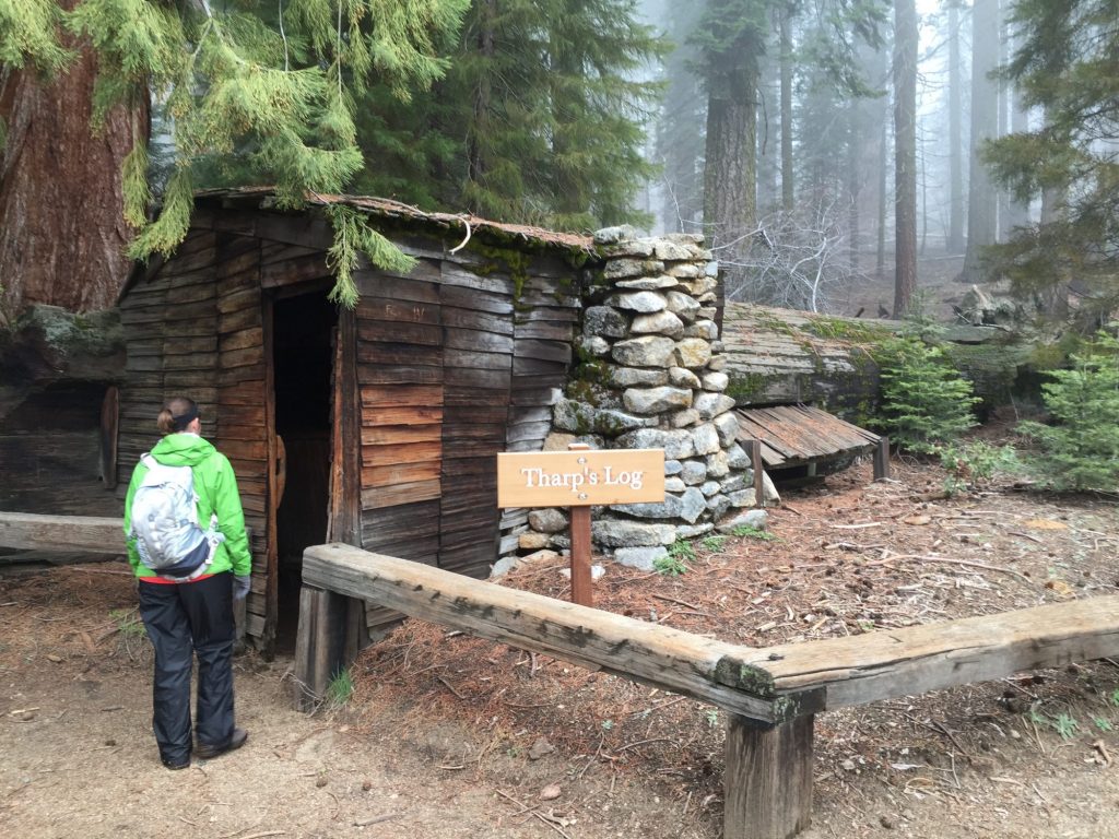
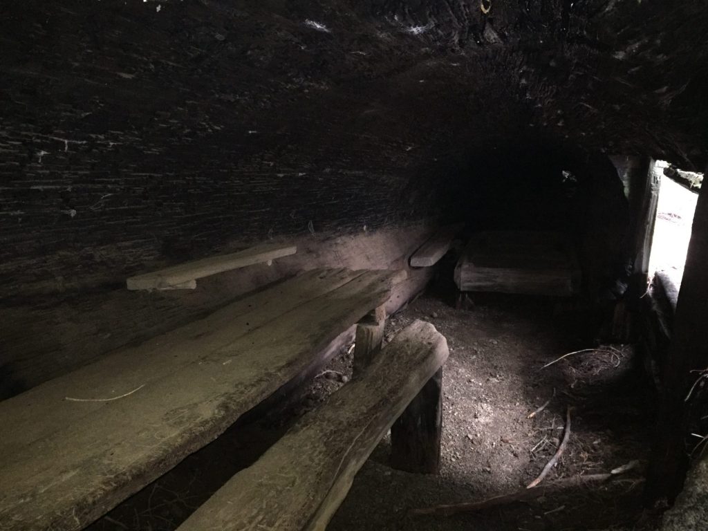
Back in the Giant Forest area we walk around Big Trees trail, one of the best areas for sequoia growth. We see some amazing trees, and as the fog rolls in yet again we take a seat on one of the benches and make an afternoon coffee to enjoy among these gentle giants. Then it’s on to Tharp’s Log trail, where Tharp (one of the first European settlers in the now Park) built a cabin incorporated right into a fallen sequoia. Very cool and rustic! A perfect natural dwelling (if you don’t mind a tight fit). From there we continue our hike to Chimney Tree, a hollowed out sequoia stump you can walk into. These trees are so massive and majestic. It’s hard to explain just how awe-inspiring they are. Walking among them feels almost sacred and spiritual, especially when they’re emerging from and disappearing into the mist.

He's either eating that rock or blowing a bubble!

He’s either eating that rock or blowing a bubble!

Coffee in the Sequoias

Coffee in the Sequoias

Peeking out from Chimney Tree

Peeking out from Chimney Tree

A true Log Cabin

A true Log Cabin

Inside Tharp's

Inside Tharp’s

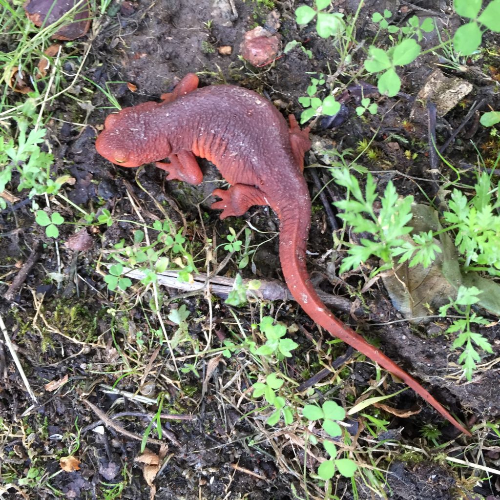
Done with our sequoia hikes, we head back down the mountain and back to the campground for dinner. We take a quick mini-hike across the road from the campground to the Marble Fork of the Kaweah River. We spot a few beautiful bright red salamanders along the trail that look like some kind of science experiment. Back at the RV we make a quick dinner and then head to bed for an early night. Great, full day!

2016-04-12 17.34.222016-04-12 17.46.35

Journal entry – 11 Apr 2016, Mon – Bittersweet departures and ginormous trees

Ashley and Karen woke early to go for a morning water aerobics class. I saw them off (giving me one last chance to see Jim) and then started packing up.

It’s always sad to leave family behind, but it’s so exciting to head off and visit new places. And it’s so nice to be back in our home. Fortunately, the trip over to Sequoia National Park wasn’t a long one and the camp ground was pretty empty when we arrived. Took a couple of tries to find a campsite level enough for us to stay in. After a late lunch we unloaded the motorcycle and stopped at the visitors center. Then on into the Sierras!

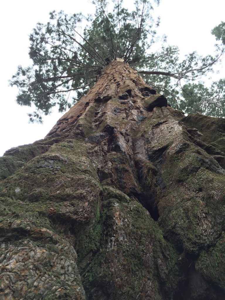
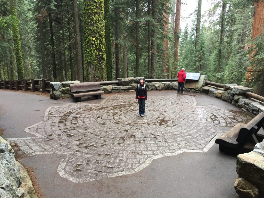
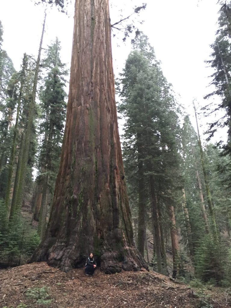
Pictures just don’t do the Sequoia’s justice! We walked around the largest tree in the world, by volume, the General Sherman. You could make yourself dizzy looking up at the top of it.

General Sherman's footprint

General Sherman’s footprint

Just an average Sequoia

Just an average Sequoia


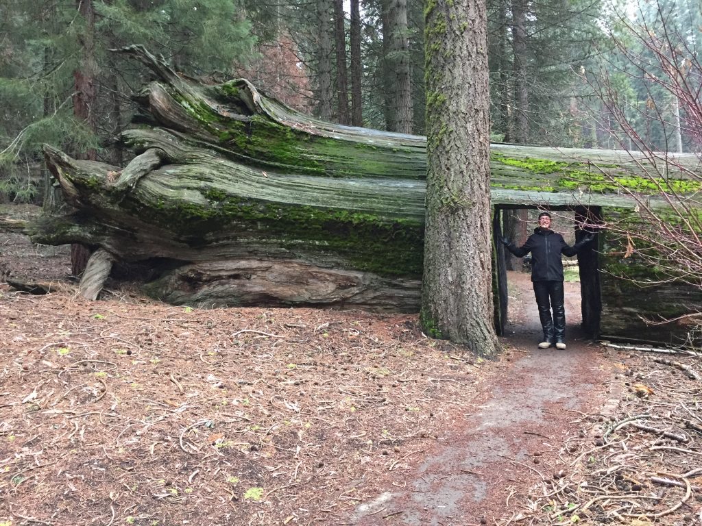
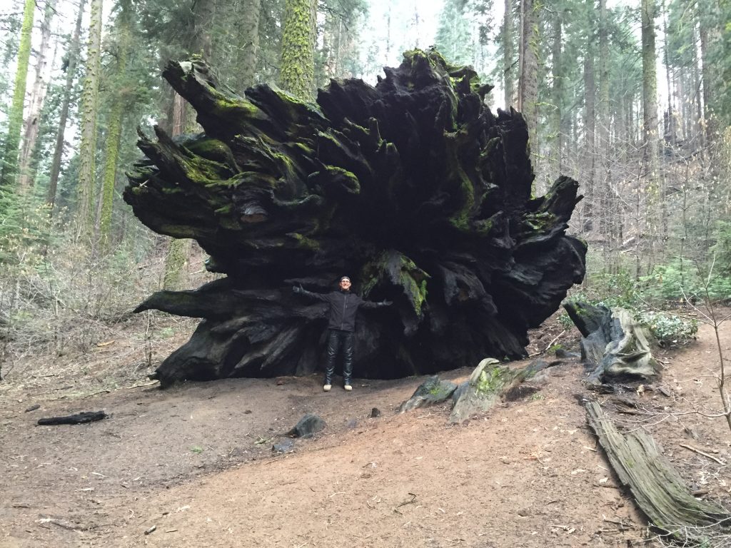
On the way back down the mountain to the campground we stopped at a nature trail we spotted on the way up. We walked through a tree. The path went right through the trunk of a fallen giant and a tunnel was cut through it. I could walk through without ducking and there were still a few feet of wood above me. We continued on the trail and found another fallen giant, fire blackened roots sticking up from the ground. How amazing! We had the trail to ourselves and wandered among the giant, ancient forest in awe of our surroundings and feet muffled by the needles littering the ground.


Walking through a tree

Walking through a tree

at the roots of a giant

at the roots of a giant


The clouds caught up with us in the form of mist and it was time to head down to beat the rain.

2016-04-11 18.35.09

Journal entry – 10 Apr 2016, Sun – Hiking, Biking, and Final Supper

Slept in late after game night. Lazy morning for all – brunch out on the patio before getting started for the day. Karen caught up on some gardening, I read and journaled, Jim did school work, and Ashley read before taking a walk to the nearby Elfin Forest.

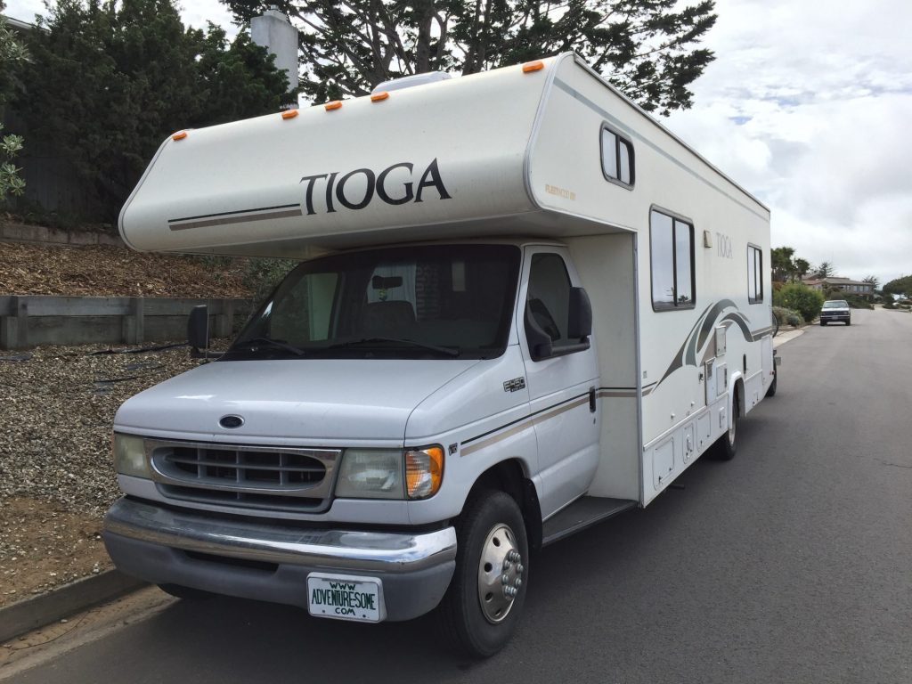
Vanity plate installed

Vanity plate installed

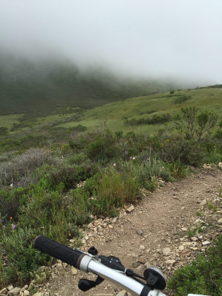
Jim and I went for an afternoon mountain bike ride up Oats Peak trail. I made it to the .5 mile left sign and turned around. Jim wasn’t too far behind me. Great ride, probably my favorite.

The marine layer is rolling in

The marine layer is rolling in

We all cleaned up and headed into Morro Bay for a farewell supper with Matt. Tasty food – a salmon salad for Ashley and fish and chips for me.

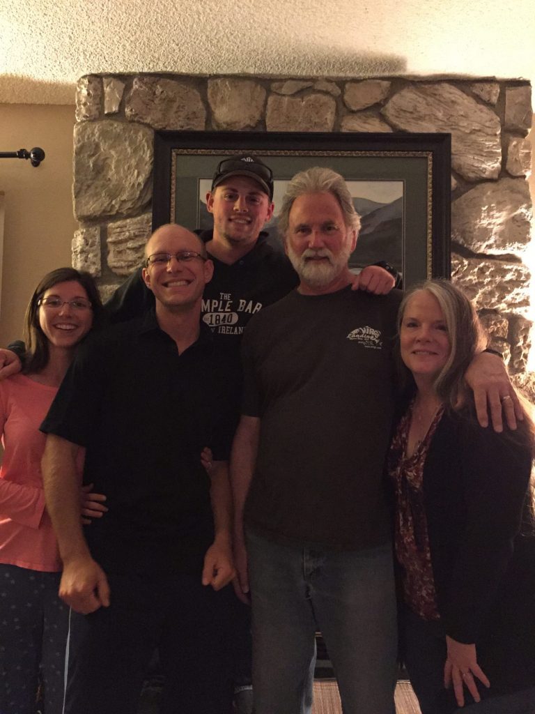
Matt came over to the house for a few minutes – just long enough to get a group photo.

The fam

Journal entry – 9 Apr 2016, Sat – Groceries and game night

I was up till about midnight and then woke again about four. After lying in bed for about thirty minutes it was time to get up. After reading for a bit I finally started to get sleepy again about six, but the alarm was set for seven so it was time for coffee instead of sleep – that just wasn’t going to be enough to be helpful.

Ashley got up and was ready to go – we headed for the Farmer’s Market about 8:45 to pick up fresh produce to stock up for our pending departure. Heading out Monday and need to refill the fridge and pantry.

Finished shopping, we head into downtown SLO and grab some brunch before meeting Karen at Costco for a few more items. She has more errands to run so we take everything back to the house and put it away.

I grabbed a nap.

Since the Thai restaurant was closed for the weekend Jim ran to the store for some last ingredients and we put together pizzas for supper. Matt came and joined us as we ate (pizza night to make up for not having one last month!) and then Marial came over for game night. We played Catch Phrase and had an absolute blast. Everyone laughed till it hurt and the teams ended up pretty evenly matched. Couldn’t have asked or planned a better evening!