Journal entry – 27 Apr 2016, Wed – Exploring the Redwoods while dodging raindrops

We made sure to turn off our alarms in order to sleep in as late as possible. Forecast calls for rain and we want to wait it out. Eventually we decide it’s time to get up and moving so we make breakfast, get changed for the day, and finally head out on the bike. This time the visitor center’s open so we get a pass for the Tall Tree’s Trail – only 50 vehicles allowed each day. We are warned that it’s a gravel road and asked if that’s ok on the motorcycle. I have to bite back a laugh. Yes, gravel is fine, even 6.5 miles of it.

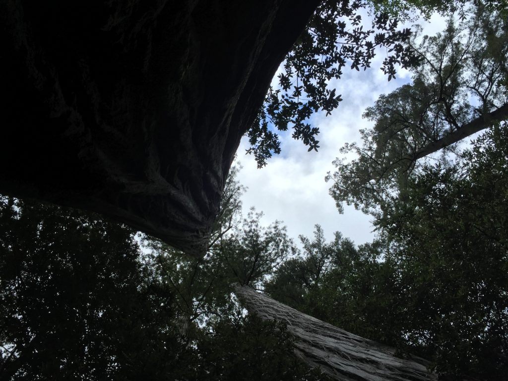
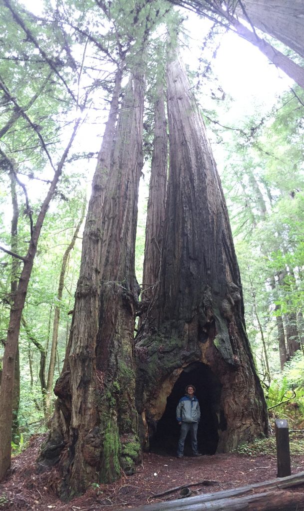
Away from the center we head, winding up and down the mountains and aiming for the Tall Trees. Only 4 other vehicles parked when we pull into the lot. We grab our rain gear and head down the trail. What an amazing place! Very reminiscent of the Sequoia groves (the Redwood is a cousin of the sequoias, after all) though the trees are less massive at the base. They’re taller, but 300+ feet is hard to compare with 350+ feet from our vantage points. Everything is so green, with such a variety of undergrowth that we haven’t seen in months. Ferns and moss abound! It’s beautiful and we mostly wander in silence as we hike among the giants.
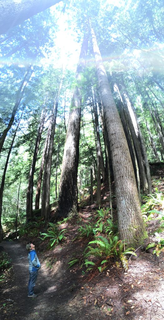
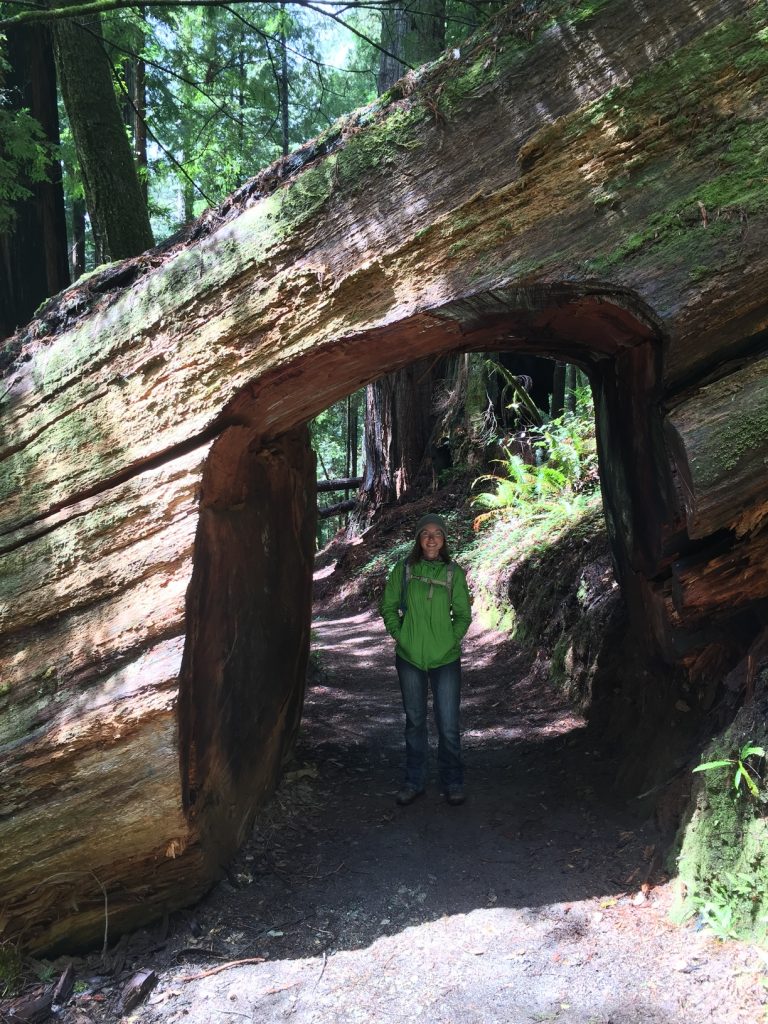
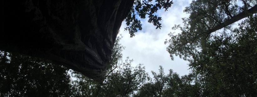
looking up to the redwoods walking through the redwoods redwoods in among the redwoods

For lunch we find a perch on top of a fallen tree, protected from any rain by the branches above us. We wonder which of these trees is Hyperion, the tallest tree in the world. It’s specific location isn’t shared in order to protect its roots from being trampled, but since this is the only grove that has limited access we assume that it must be in here. There are certainly a few giants and there is plenty of water accessible from the river running just beside the grove to help them grow big and tall.
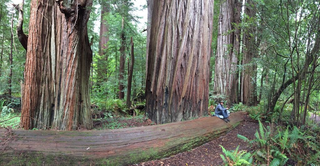
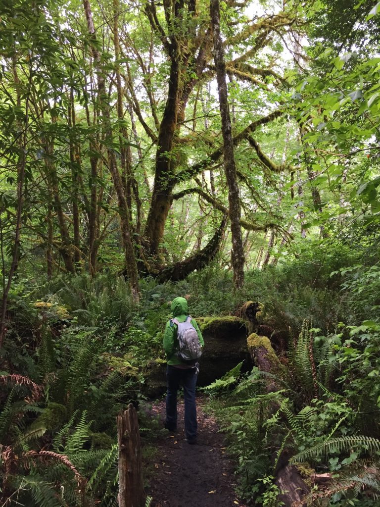
lunch spot very green!

As we ascend from the valley toward the parking area the rain picks up in earnest. We wait at the covered pavilion for the rain to slow, giving our jackets some time to drip dry before re-donning them. Back on the road, we top off our water bottles and decide to call it a day. There’s more hiking to do, but no short-ish trails that we can attempt without facing rain and risking getting caught out after dark. We head back to camp.

After supper we head into the tent, just in time to avoid the next rain shower. We read for a bit and then turn in. I must not have slept well last night as I’m drowsy before the sun sets!
Journal entry – 26 Apr 2016, Tues – Moving next door and heading to the Redwoods

On last night’s short walk we noticed an “extra vehicle” parking lot beside our loop in the campground. We asked the ranger if we could park there for the next two nights while visiting Redwood National Park. Alas, the answer was no because of liability. We had already made reservations for Thurs-Sat nights, 3 spots down from our current one. Because of the liability issues, we went ahead and paid for two more nights, two spots down. We moved in and had lunch before heading out.

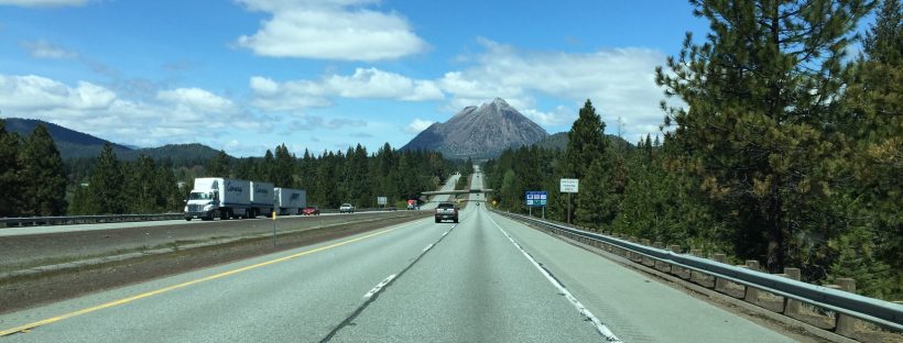
With the motorcycle packed up, quite differently than normal, loaded with camping gear, we head back into California. It’s a beautiful ride, winding through the forested mountains along a river. We pass through the northern tip of the park and stop in the visitor center in Crescent City where we pick up an overnight backcountry camping pass for the Flint Ridge campground.

The ranger was funny – totally not politically correct. One of the creeks is flooded and the trail crossing is “ok for big people, but lighter ones could get washed away.” Likewise, Flint Ridge campground is only 1/4 mile from the parking area, compared to some of the further hikes, like the one that is 3 miles, “only real backpackers camp there.”

We head south to Flint Ridge and set up camp in site #8, the last one on the loop, so we’re tucked back into the woods by ourselves. Motorcycle unloaded and gear all tucked away, we head further south to fill our water bottles, since nothing is available there at the campground (though we do have a picnic table, metal fire pit, and bear box in each site and a community toilet at the entrance to the campground).

No luck until Orick, about 25 miles away. Even the southern visitor center is closed by now, so we stop at the gas station. I add to the gas tank while Ashley buys a gallon jug of water to pour into our containers. We head on back up the 101, heading for our campsite and supper.

We eat and then read before heading to bed.

Journal entry – 25 Apr 2016, Mon – the Oregon Tail

Packed up and started ambling north. Finally crossed the border into Oregon – another state, woohoo! Pulled into the Walmart at Grant’s Pass for some last produce for the week and stopped at the BLM/USFS office for wild camping suggestions. They didn’t really have any recommendations for 30′ motorhome so we headed to Valley of the Rogue state park, with campground. Good price for full hookups, plenty of space in the spots, and no leveling needed as we just pulled in and were ready to go!

Oregon!

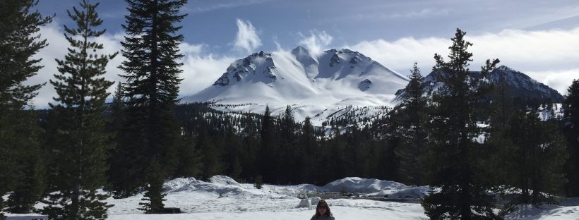
Planned out our week, with a two night visit to the Redwoods and Saturday’s trip up to Crater Lake.

Journal entry – 22 Apr 2016, Fri – Wet and Squeaky Clean

Raining off and on today, so a great opportunity to catch up on cleaning and chores. We revel in electric hook-up and plenty of water available. It seems silly to have so much fun just letting the water run but such are the delights of living on the road with storage limitations.

Catch up on laundry, clean the house from top to bottom. Generally relax and have a down day after about two weeks of being on the go.

Journal entry – 21 Apr 2016, Wed – On toward Redding, CA

We wake up, take down camp, make breakfast and then hit the trail to return to the RV. It’s a lovely brisk, sunny morning. The hike back is a cinch (it feels way easier than it did on the way in the day before yesterday, but then again we are rested and refreshed) and we love seeing Wapama falls from a different direction.

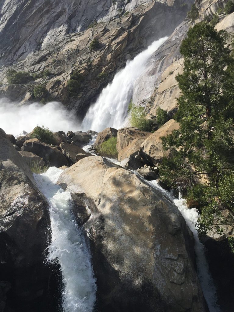
Falls in the distance

Falls in the distance, further along the trail

2016-04-19 16.13.52


Back at the RV, we load the motorcycle (one of the rangers stops by and tells us that she loves our set-up), make quick salads for lunch, and change into clothes that don’t smell because we’ve been wearing the same ones for about 5 days now. We decide to drive as far as we can today toward Redding, CA where we will be finding an RV campground and setting up a centralized base in order to visit both Redwoods National Park and Lassen Volcanic National Park without having to drive the RV to both places. The parks are in opposite directions and we want to conserve our precious RV gas as much as possible and take the motorcycle instead.

Down the mountains on winding, tiny roads, it takes us about 4 hours to make it to the interstate. We are both starving, have nothing but a bit of lettuce in the fridge, and breakfast sounds good so we stop at Denny’s for dinner. We still have the unwashed camping stench wafting off of us, so Denny’s seems like an appropriate place to dine as we shouldn’t be bringing the ambiance down too much. Dinner really hits the spot! Back on the road and a few miles away we find a rest area and stop for some much needed showers. We unpack our backpacks while the water is heating. Both clean and feeling refreshed, we hit the road again until about 10pm when we find another rest area to pull over in for the night. We’re both beat and head to bed immediately.

Journal entry – 20 Apr 2016, Wed – Camped at Rancheria Falls and Day Hiking

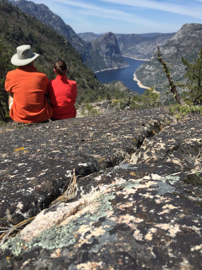
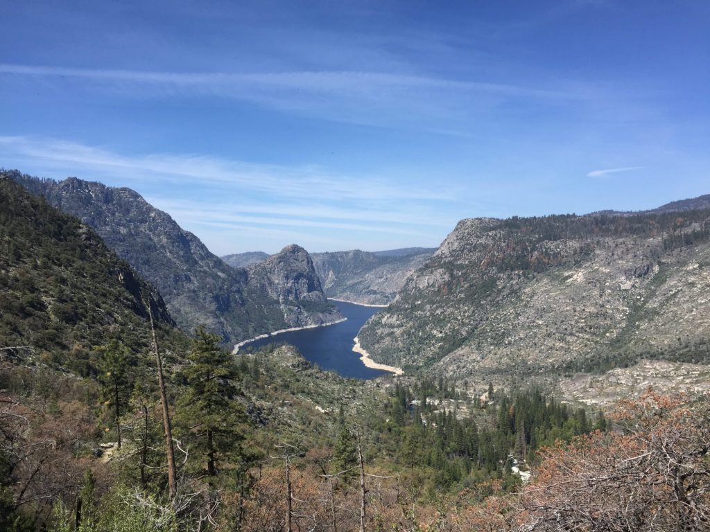
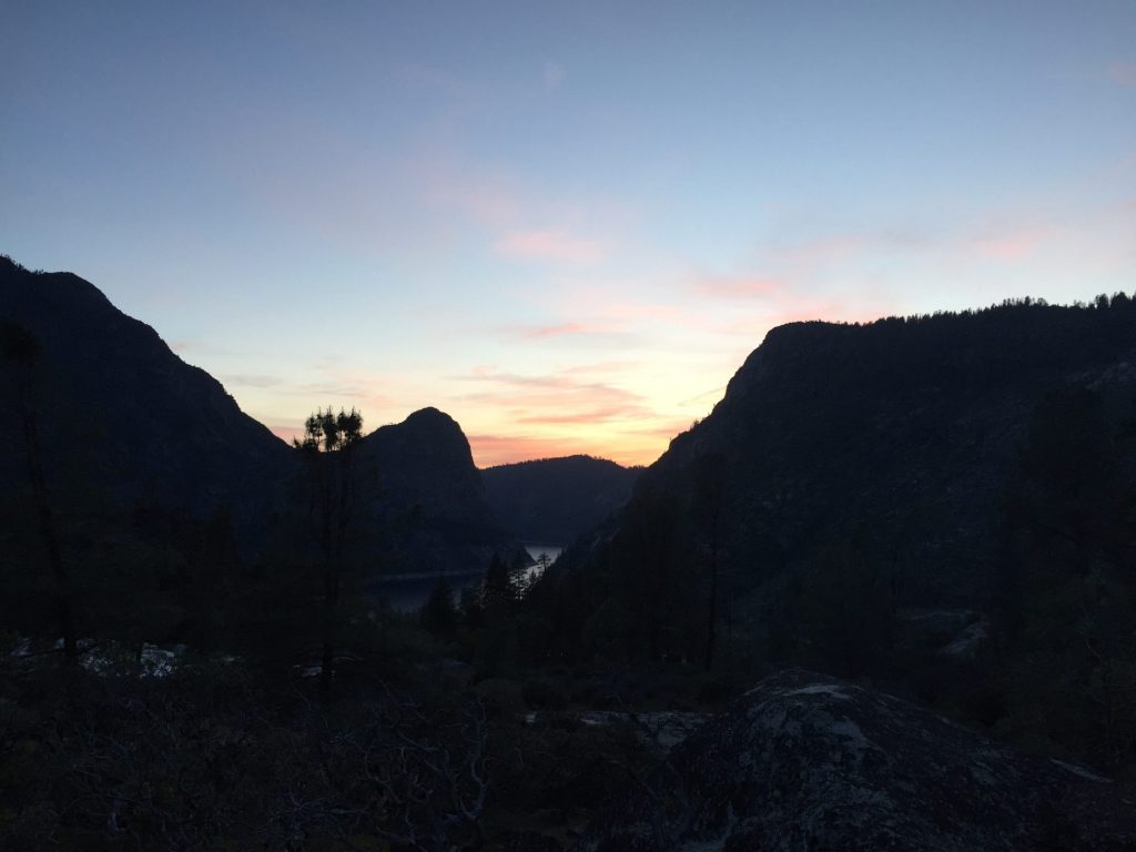
We wake up early, make a leisurely breakfast, and plan our day. We’ll day hike up the trail a ways, but we both want to have a relaxing, restful day since we’ve been going non-stop for a while. So, we fill up our water bladders and pack our bags for the day, first to explore the waterfall area and then continue up the trail toward Pleasant Valley until we feel like stopping. One of the couples from last night is already packed up and getting ready to leave, yay! We see a tiny trail close to camp we didn’t spot last night so we follow it and find it leads to the best camp spot! Perched on top of a rock outcropping, close to the river, overlooking the reservoir with granite formations in front of and behind it and a view of Rancheria falls to the left, this spot has it all, plus a fire pit! So we quickly make our way back to the tent, grab our stuff and move everything to our new home. What a great find!

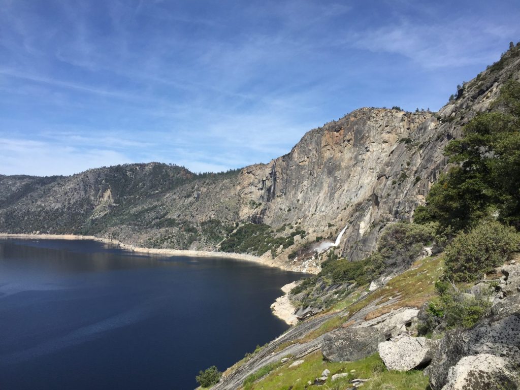
All set up and settled again we head up the trail toward Pleasant Valley, stopping on the footbridge over Rancheria Falls to enjoy the view. Up, up, up we go, traversing more switchbacks. We keep making our way toward the top until we find a nice rock outcropping to settle down on and eat our lunches with a wonderful view of the reservoir below.

2016-04-20 10.54.26 2016-04-20 12.15.52

overlooking the Hetch Hetchy reservoir

overlooking the Hetch Hetchy reservoir

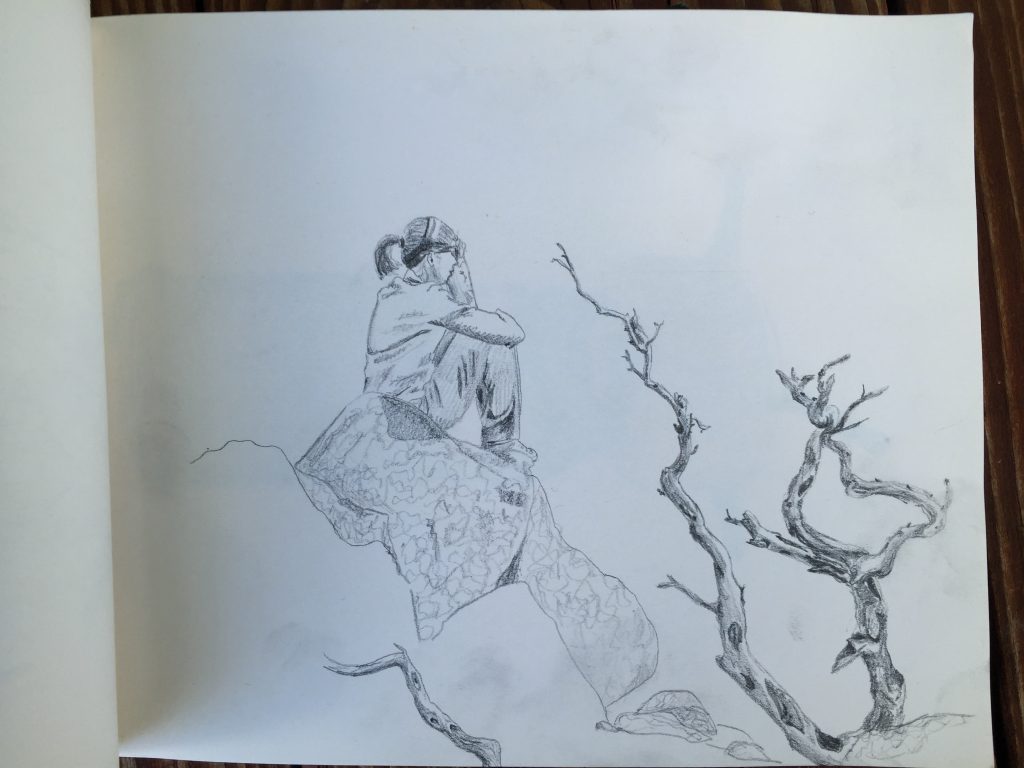
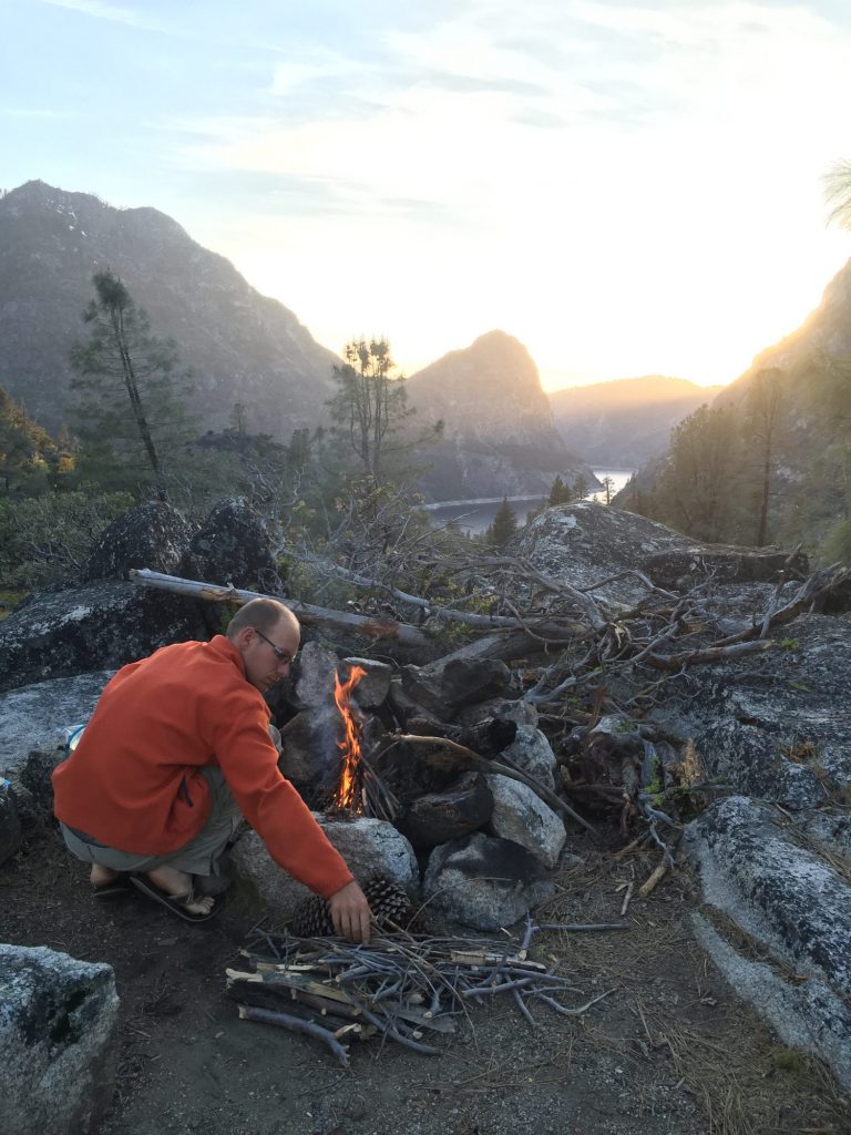
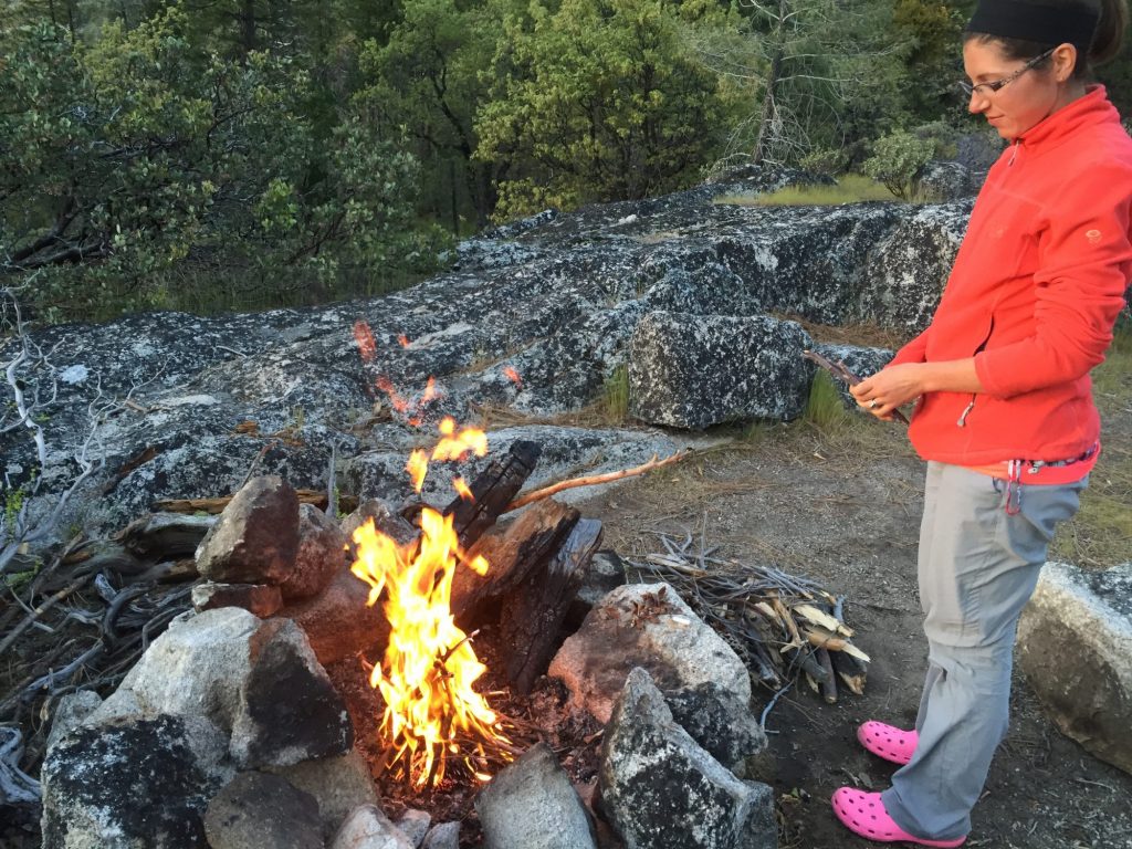
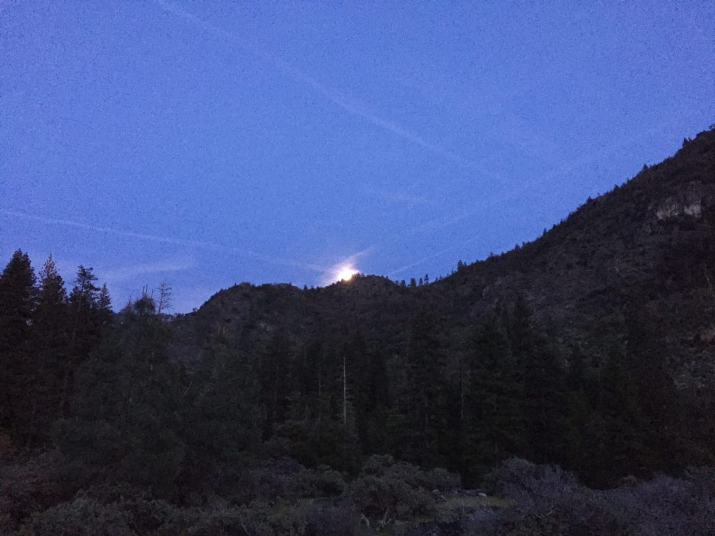
After lunch, we head back down the trail and back to camp for some relaxing beside the river and attempted naps. The other couples are gone by now, so we’ve got the whole area to ourselves, and our campsite is so secluded we don’t know if anyone else ever arrives. Matthew sketches some and I putter around camp. As nightfall rolls around, we start a fire and the moon (which is almost full) rises just behind our tent.

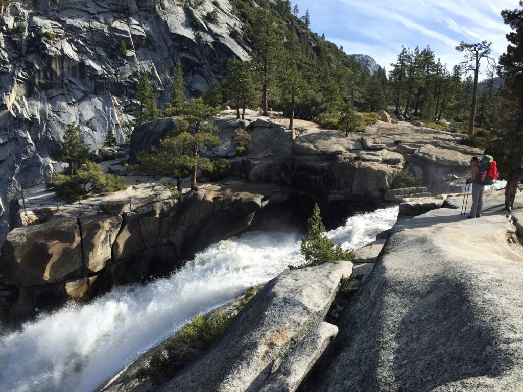
Ashley enjoying the view at Hetch Hetchy, Yosemite NP

Ashley enjoying the view at Hetch Hetchy, Yosemite NP

Playing with fire

Playing with fire

It's a campfire evening

It’s a campfire evening

2016-04-20 19.48.42

Moon rise!

Moon rise!

A wonderful, restful day of just enjoying the views around us. So glad we decided to stay in one spot for two nights and that we found such a great, secluded campsite!

Journal entry – 19 Apr 2016, Tues – Down the JMT and on to Hetch Hetchy

We both slept pretty well last night and wake up feeling wonderful with the brisk air filling our lungs! We make breakfast and pack up camp. Packs back on we make our way down the JMT for a bit of different scenery. About 2 miles down the trail the views become spectacular. We are right on the edge of a cliff, with Half Dome, Liberty Cap, and Nevada Falls all hovering hugely in front of us. Just amazing! I wanted to hike the JMT pretty badly before, but now I am dying to do it even more, and these are just the beginning views! Yosemite is an amazing place, and it’s interesting to see the same formations from different vantage points. Half Dome, for example, looks completely different depending on what side you’re viewing. It’s a multi-dimensional scenery, carved with tumbling waterfalls and I do not tire of seeing it.

2016-04-19 09.28.41 2016-04-19 09.18.10 2016-04-19 09.28.10

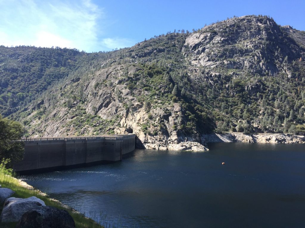
Back down at the RV we take off and head toward Hetch Hetchy, a two hour drive to the northern end of Yosemite. According to our guide book, Hetch Hetchy is the place to go for solitude, and that sounds lovely to us. Hetch Hetchy apparently used to be just as beautiful as Yosemite Valley, until it was damed and made into a reservoir for the San Fransisco area water supply. Despite this, it is still a pretty beautiful place to visit. Vehicles over 25 ft are not allowed past the entrance station for Hetch Hetchy due to the small roads, however we knew this ahead of time thanks to the friendly ranger in Yosemite Valley. She called the Hetch Hetchy rangers to see if there was a place for us to park the RV and continue on in via the mortorcycle so we could do some backpacking. They gave us the thumbs up, so when we arrive they tell us where to park and issue us our wilderness permit for 2 nights in the backcountry along Racheria falls, about a 6 mile hike in. The ranger recommended this hike since much of the backcountry higher up still has snowpack and is only traversable with snowshoes, which we do not own.

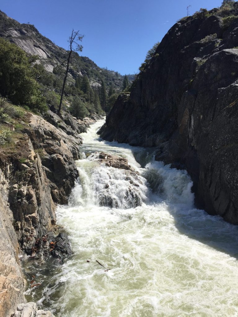
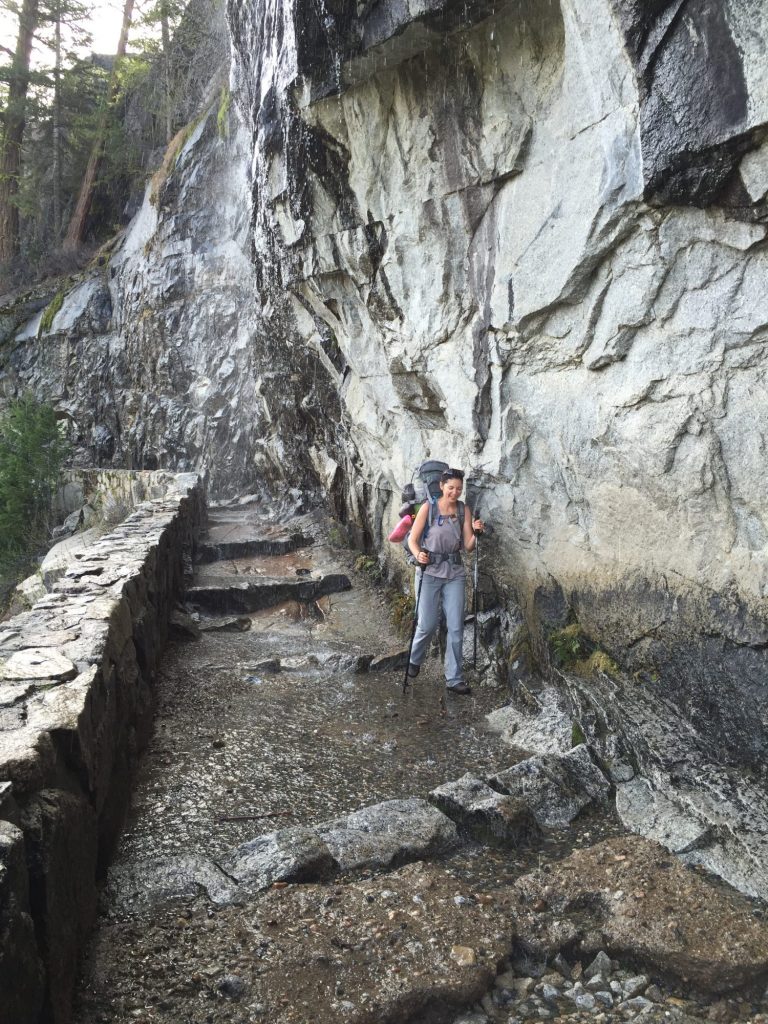
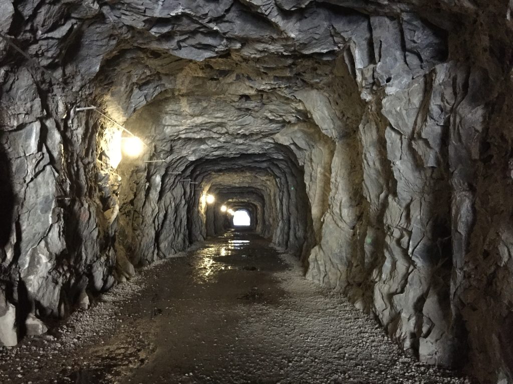
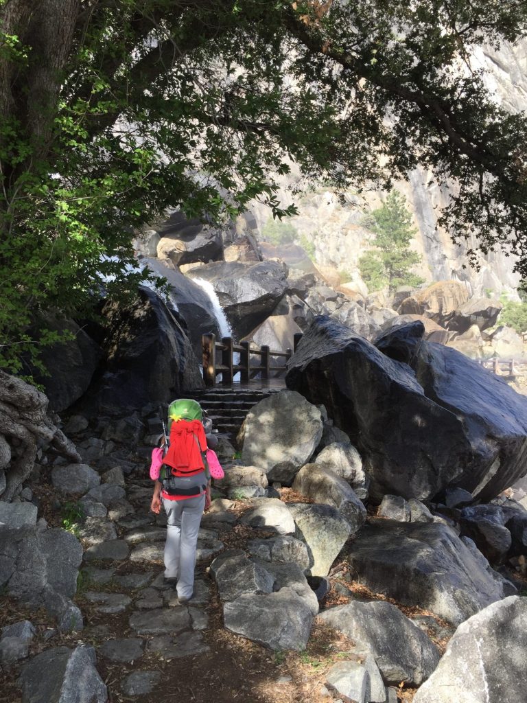
In our traditional Clampet style, we manage to get myself, Matthew, and both of our backpacks on the motorcycle! It’s only about a 15 minute trip to the backcountry parking area, so not bad at all. We fill up our waters and off we go. It’s a pleasant trail, but a warm day (and lots of mosquitoes in this area), so when we reach Wapama Falls and cross the footbridges at its base, the soaking mist is a refreshing relief. The water is moving so rapidly I can feel the rumble through my whole body! Onward we go, and finally glimpsing Rancheria Falls we start looking for camping sites. There are two other couples out here with us, and we’d prefer to be off by ourselves, but by this time it’s about 6:30pm, we’re pretty tired from our 12 mile day and 2 hour drive, so we opt to camp in the wooded area where the other couples are, but spread far enough away that we don’t really see them. We’ll search for a better spot tomorrow, since we’ll be staying in this area both nights. Cozied up in our little wooded spot close to the river we make dinner and then head to bed.

2016-04-19 15.10.11 2016-04-19 15.17.18 2016-04-19 16.11.31